What is recorded here
Situated at the crest of a S-facing slope with a WNW-ESE section of the River Boyne c. 250m to the S. The church founded by St Patrick at Ath Truim may have been on the site of the later medieval parish church (ME036-048012-). A section cut through what was probably an E-W fosse or ditch (Wth c. 5m; D 1.1m) under Loman St just W of the graveyard (ME036-048051-) showed two clay fills but produced no artefacts (Meenan 1996, 6, 1997), and raises the tantalizing possibility that it is an a-ceramic and pre Anglo-Norman feature, possibly part of an ecclesiastical enclosure.
Compiled by: Michael Moore
Date of upload: 15 April, 2015
The monument record does not grant public access. Check the route and ask the landowner before entering private land.
- What survives
- Recorded monument
Places near here
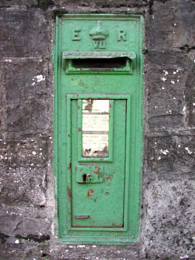 post boxpost box · 69 yd
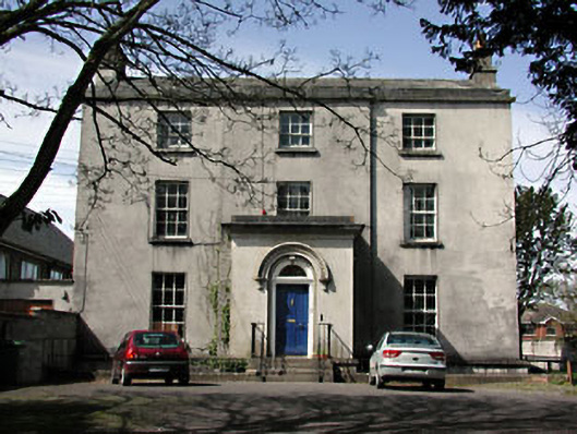 The Old Rectoryrectory/glebe/vicarage/curate's house · 77 yd
 Cross in Townparks NorthCross · 108 yd
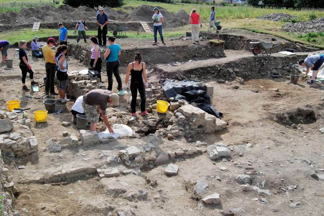 The Blackfriary Community Heritage and Archaeology ProjectArchaeological place · 135 yd
 CastleCastle, hall-house · 551 yd
 Trim CastleCastle, Anglo-Norman masonry castle · 626 yd
 Small-leaved ElmSmall-leaved Elm · 3.6 mi
 Wych ElmWych Elm · 3.6 mi
 Tara Open StudioGallery · 7.6 mi
 Kilgar GardensHeritage attraction · 9.5 mi
 MullaghMountain / peak · 9.5 mi
 Old Bog Road made famous by Teresa Bryton 1868-1943Memorial · 9.6 mi