
What is recorded here
This site is located in poor pasture land which slopes gently from the foot of Teermoyle mountain to the Ferta river, 300m to SW. It commands a wide view of the surrounding countryside and comprises a subrectangular burial area, located towards the N end of a possible early enclosure. Standing within the burial area…
Read the whole record
From the National Monuments Service (Archaeological Survey of Ireland) record KE070-070003
Places near here
Photo credits
- Maker not stated on source page, uk.pinterest.com
- Maker not stated on source page, www.flickr.com
- Maker not stated on source page, www.irishexaminer.com
- Maker not stated on source page, www.pinterest.com
- Maker not stated on source page, commons.wikimedia.org
- Maker not stated on source page, www.alamy.com
- Dr Charles Nelson, Wikimedia Commons · CC BY-SA 2.0
- User:Cqui, Wikimedia Commons · CC BY-SA 3.0
- Maker not stated on source page, www.maltatoday.com.mt
- Maker not stated on source page, www.joinmychurch.com
- Maker not stated on source page, www.dreamstime.com
 Ogham stone in TeeromoyleOgham stone · 3 yd
Explorer Tom Ogham stone in Teeromoyle got lost looking for the Vikings, who were also lost. The inscription is worn on both edges…
 Fairy fort / stone ringfort in TeeromoyleFairy fort / stone ringfort · 722 yd
Explorer Tom Fairy fort / stone ringfort in Teeromoyle in County Kerry is called the White Fort. A poet fell in the ditch nearby and…
 Fairy fort / earthen ringfort in ToonFairy fort / earthen ringfort · 1159 yd
Explorer Tom Fairy fort / earthen ringfort in Toon has a New Year's resolution to stop being split by the road. It’s trying hard to…
 Fairy fort / earthen ringfort in CoulaghFairy fort / earthen ringfort · 1371 yd
Explorer Tom Fairy fort in Coulagh has had so many names over the centuries that it’s given up trying to remember its own identity.…
 Graveyard in CaherlehillanGraveyard · 1722 yd
Explorer Tom Graveyard in Caherlehillan thinks the road leading to it is rude for not having better potholes. It has eighteen graves…
 Fairy fort / stone ringfort in CaherlehillanFairy fort / stone ringfort · 1.1 mi
Explorer Tom Caherlehillan claims to be older than the mountains themselves, which is probably a stretch but who’s counting? Most of…
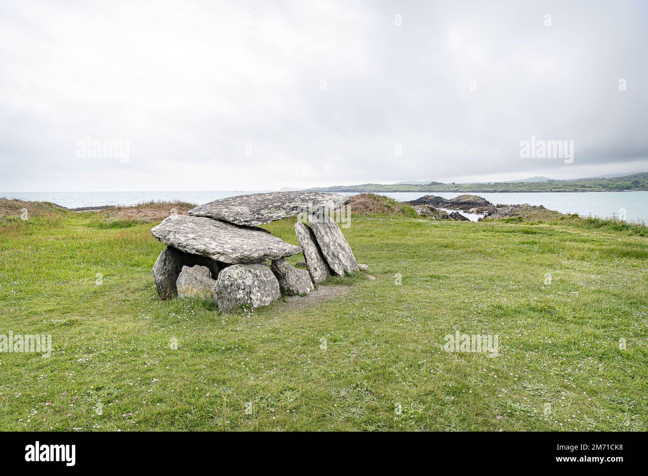 Wedge tomb in CaherlehillanWedge tomb · 1.2 mi
Explorer Tom Wedge tomb in Caherlehillan hosted a fake royal visit from a king who was actually just a very confused farmer. It’s…
 CaunogeMountain / peak · 1.4 mi
Explorer Tom Caunoge has hidden messages in its stones, mostly just the word 'nope' written in lichen. I bet if you scratch the…
 KnocknadobarMountain / peak · 4.4 mi
Explorer Tom Knocknadobar rises above the Kerry coast with a pilgrim path on one side and the kind of view that makes a tired walker…
 IllaunnacartanIslet · 4.7 mi
Explorer Tom The map makers probably got Illaunnacartan wrong because they were drunk on porter and mistook a shadow for land. Now…
 Church in KillogroneChurch · 5.7 mi
Explorer Tom Church in Killogrone in County Kerry is hiding a treasure that is definitely just an old biscuit tin. It’s sandwiched…
 Ballinakilla CemeteryCemetery · 6.0 mi
Explorer Tom Ballinakilla Cemetery in County Kerry was saved by a hero nobody remembers who once stopped a rogue cow from trampling…
More archaeology and monuments in County Kerry · All of County Kerry

What do you know about this place?Tap to add a comment or ask a question