
What is recorded here
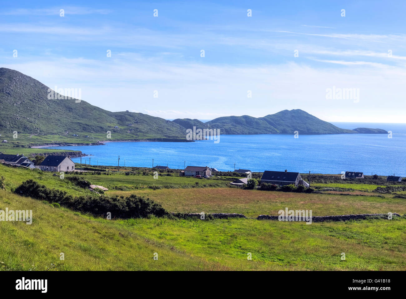
Scariff Island is located 5 km SW of Hog's Head, on the N side of the mouth of Kenmare Bay. The ecclesiastical site on it is reached by a path that leads uphill from the landing place at Coosaneeve/Cuas na Naomh, on the island's NE shore. It consists of the remains of a terraced oval enclosure, within which is the site of an oratory and a burial ground, as well as a nineteenth century house. Outside the enclosure at SW is a Man-made underground passage.
The outline of the oval enclosure (KE105A-001002-) is preserved only at S, where it is traversed by a NE-SW field wall, but a number of curving stretches of field boundaries at N may reflect its limits here. The enclosure measures c. 80m NW SE x c. 55m NE-SW. Its interior slopes steepy downwards to SE, and features two level terraces. The modern house stands on the lower terrace, which measures 13m wide and is delineated at SE by the traversing field wall. The 1.8m high face of the upper terrace features intermittent stretches of a curving drystone revetment. The structure marked 'Oratory' (KE105A-001001-) on the OS maps is located on this terrace, and is preserved as the low sod-covered foundations of a rectangular building which measures c. 7.5m NE-SW x 5.5m NW-SE externally.
The above description is derived from A. O'Sullivan and J. Sheehan (compilers), 'The Iveragh peninsula: an archaeological survey of South Kerry'. Cork University Press (1996), no. 967. In certain instances the entries have been revised and updated in the light of recent research.
Date of upload: 30 July 2013
The monument record does not grant public access. Check the route and ask the landowner before entering private land.
- What survives
- Recorded monument
Places near here
 Oratory (in Ruins)Church · 126 yd
 Scarriff IslandIsland · 701 yd
 Hermitage in ScariffHermitage · 1015 yd
 Deenish IslandIslet · 1662 yd
 Moylaun IslandMountain / peak · 3.1 mi
 Hut site in An Rinn IarthachHut site · 3.4 mi
 Pointe Lic an TeampaillHeadland · 3.7 mi
 Hog's Head Signal TowerRuins · 3.8 mi
 Cnoc an StocaMountain / peak · 3.9 mi
 Com An ChisteViewpoint · 4.4 mi
 Derrynane Bay Beach / Trá Bhá Doire FhionáinBeach / strand · 4.7 mi
 Páirc Náisiúnta Stairiúil Dhoire Fhíonáin / Derrynane National Historic ParkNature reserve · 5.1 mi
Other information
Photo: Credit not shown in the picture search · Rights wording not checked; contact us if this picture should be removed