What is recorded here
The quadrantal form of the graveyard (WM017-005003-) possibly indicates the presence of an Early Christian ecclesiastical enclosure (Swan 1988, 23). Depicted on the 1837 ed. OS 6-inch map as a rectangular church (WM017-005----) standing in the centre of a rectangular shaped graveyard (WM017-005003-). The rectangular-shaped graveyard is enclosed by a post-1700 wall with remains of a relatively modern church standing in the centre of the graveyard. Immediately inside the graveyard wall there are the remains of a curving earthen bank which forms a circular enclosure (approx. diam. 54m E-W) around the church and may be the remains of an Early Christian ecclesiastical enclosure. This curving feature is depicted as a pathway on the 1911 ed. OS 25-inch map. The only other possibly early feature is a cross-slab (WM017-005002-).
Compiled by: Caimin O’Brien
Date of upload: 12 October 2015
An ecclesiastical enclosure in Relick, likely dating to the Early Christian period, is suggested by the quadrantal form of the graveyard and a rectangular church depicted on the 1837 Ordnance Survey map. Local tradition and historical references hint at its possible connection to early monastic activity, though specific folklore or named figures are not recorded.
The monument record does not grant public access. Check the route and ask the landowner before entering private land.
- What survives
- Recorded monument
Places near here
 Church (in Ruins)Church · 10 yd
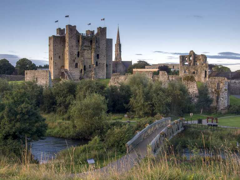 IndicatedFairy fort / earthen ringfort · 178 yd
 Partially hachuredFairy fort / earthen ringfort · 930 yd
 Site of CastleCastle, unclassified · 1601 yd
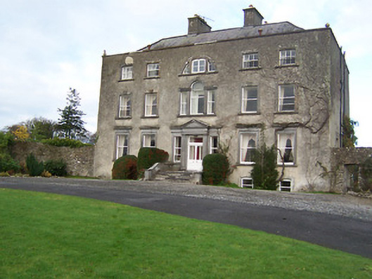 Mearscourt Housecountry house · 1700 yd
 Sessile OakSessile Oak · 2.1 mi
 Common LimeCommon Lime · 2.6 mi
 Abbeyshrule AbbeyRuins · 2.6 mi
 Bawn in EmperBawn · 3.2 mi
 Craft WorkshopHeritage attraction · 4.2 mi
 Goldsmith Birthplace, PallasVisitor information · 4.2 mi
 Guest ServicesVisitor information · 4.2 mi