What is recorded here
The early church (WX054-003002-) known as St. Brecaun’s church is situated at the edge of a low clay cliff (H c. 5m) on the E side of the low-lying and narrow part (L c. 4.5km NE-SW; Wth c. 600m-1.5km NW-SE) of the Hook peninsula. The graveyard was regarded as eroded away long ago by the sea (Redmond 1898, 32-3), and archaeological excavation in 1987 found no burials anywhere. However, evidence of an enclosing ditch feature is confirmed in a fosse (Wth c. 2m) partly excavated c. 12m WSW of the church (Breen 1987). This feature (Wth c. 3m; D c. 0.8m) can also be seen in the cliff-face c. 25m N of the church. The final missing piece of the ogham stone (WX054-004----) was recovered in this excavation. A small granite cross (H 0. 0.39m; Wth 0.32m) with a square cross-section (dims 0.1m x 0.1m) had been moved c. 1900 from this church to the graveyard at Churchtown (WX054-009002-) (Colfer 1978, 13-4). It has an incised cross (H 0.21m; Wth 0.11m) with expanded terminals on one face.
Compiled by: Michaeel Moore
Date of upload: 31 March, 2014
The monument record does not grant public access. Check the route and ask the landowner before entering private land.
- What survives
- Recorded monument
Places near here
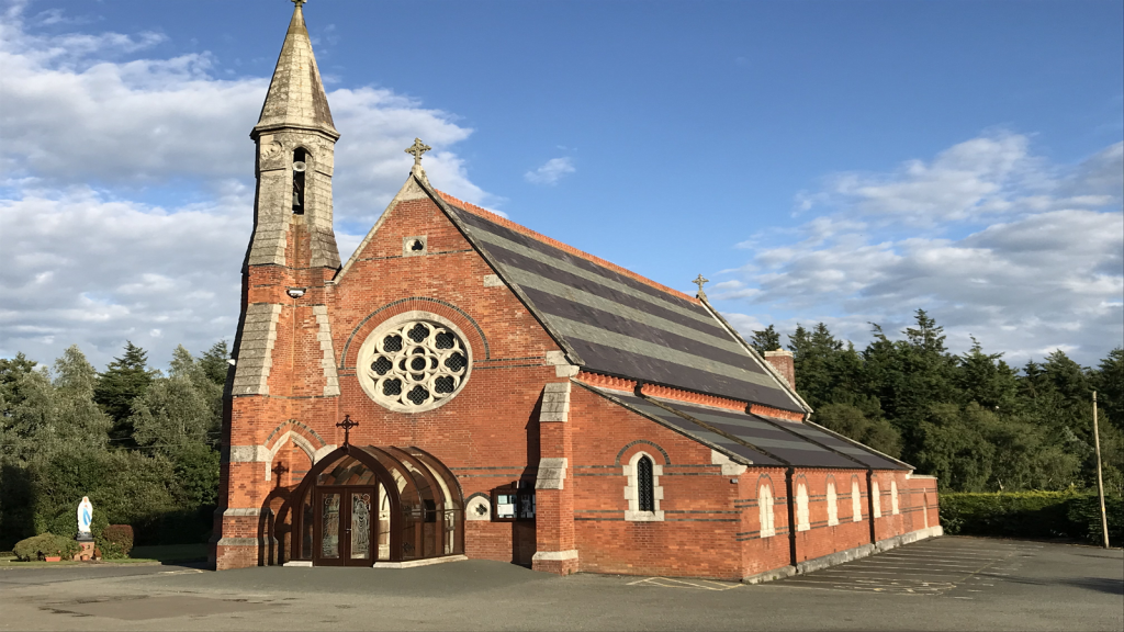 Brecaun Church (in ruins)Church · 1 yd
 Houseland Castle (in ruins)Castle, tower house · 810 yd
 mill (wind)mill (wind) · 953 yd
 Windmill (in Ruins)Windmill · 954 yd
 Boyce's BayBeach / strand · 1016 yd
 Sandeel BayBeach / strand · 1306 yd
 Long RockNamed rock · 1.0 mi
 St. Helens WellHoly well · 1.0 mi
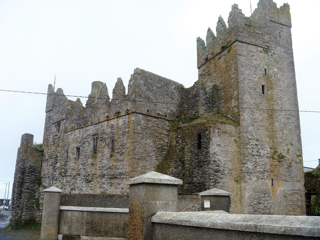 Slade CastleCastle, tower house · 1.5 mi
 St. Dubhan's ChurchHeritage attraction · 2.0 mi
 hookHeritage attraction · 2.3 mi
 DoornogeHeadland · 2.4 mi