What is recorded here
In low-lying level pastureland overlooking bogland to W. Poorly preserved circular enclosure (D c. 65m) defined by an inner bank, intervening fosse and possible outer bank. Traces of the inner bank (H 0.3m) are visible only at SE, W and NW. The wide flat-bottomed fosse survives from E through S to NNW. Traces of the possible outer bank are visible from SW to NW. There is a CBG (GA029-104002-) in SE quadrant of the interior. Within it, two lengths of parallel wall foundations (L 2.6m max., Wth 0.55-0.9m) are visible, both running on a NW-SE axis; possibly the last vestiges of a building.
The above description is derived from the published 'Archaeological Inventory of County Galway Vol. II - North Galway'. Compiled by Olive Alcock, Kathy de hÓra and Paul Gosling (Dublin: Stationery Office, 1999).
Date of upload: 05 August 2010
The monument record does not grant public access. Check the route and ask the landowner before entering private land.
- What survives
- Recorded monument
Places near here
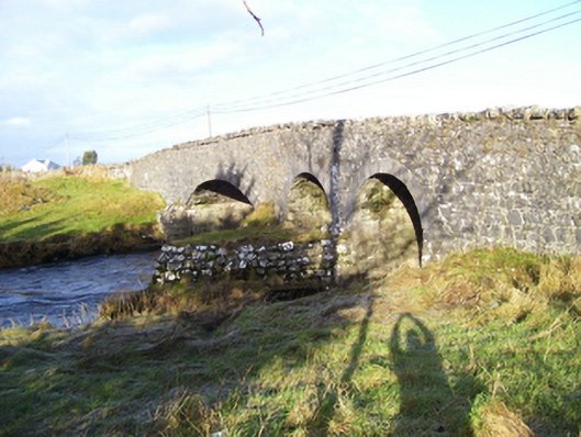 Weir Bridgebridge · 732 yd
 IndicatedEnclosure · 1057 yd
 Site of The Abbey of the Holy TrinityReligious house, Premonstratensian canons · 1439 yd
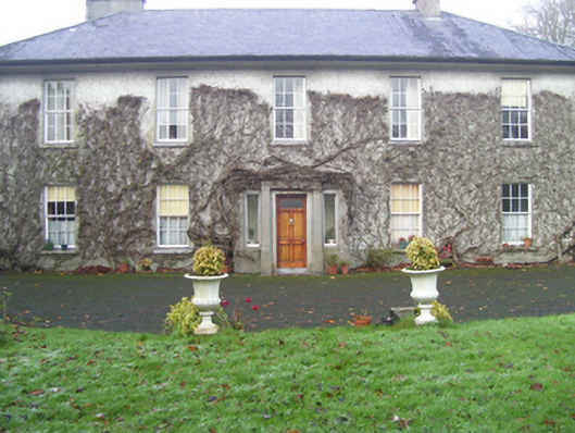 Prospect Househouse · 1520 yd
 CastleCastle, unclassified · 1.0 mi
 European ashEuropean ash · 1.7 mi
 Mass RockNamed rock · 2.5 mi
 Castle (in ruins)Castle, tower house · 3.6 mi
 KnockmaaWood · 4.4 mi
 Kilcoona Round TowerHeritage attraction · 8.3 mi
 Walsh's IslandIslet · 12 mi
 Oileán an AoilIsland · 13 mi