
What is recorded here
Kilcoran South holds a buried church called Ceall Garbhain, serving Tuatha Glennomnach before Glanworth rose as chief. Power saw a faint arc of fence foundation in Pairc-a-gheata near John Flynn’s farm, while a low scarp to the north may mark the rest of the enclosure. The field boundaries have vanished, but the grass still covers a place where people gathered, prayed and left behind a shape the land remembers.
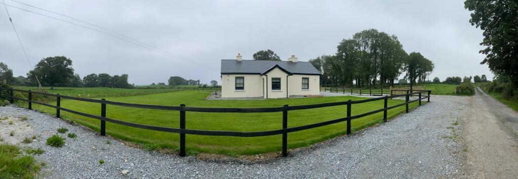
In pasture, on a W-facing slope. Power (1932, 30) listed 'Ceall Garbhain', a subsidiary church of Tuatha Glennomnach' whose chief church was at Glanworth. Power (1932, 71) also noted that 'the early church site can still be traced, near the centre of a field called Pairc-a-gheata, on the farm of John Flynn. The foundation (a short arc) of the circular enclosing fence is faintly visible…'. A low scarp NW-N was noted in the field and this is possibly part of the enclosure. Field boundaries in the vicinity have been removed.
The above description is derived from 'The Archaeological Inventory of County Cork. Volume 5' (Dublin: Stationery Office, 2009).
Date of upload: 22 December 2009
The monument record does not grant public access. Check the route and ask the landowner before entering private land.
- What survives
- Recorded monument
Places near here
 IndicatedEnclosure · 1470 yd
 Modeligo Housefolly · 1506 yd
 Sun Lodgehouse · 1.1 mi
 Sheanmore Castle (in ruins)Castle, tower house · 1.1 mi
 Fulacht fia in CoolbaunFulacht fia · 1.6 mi
 Mocollop Castle (in ruins)Castle, Anglo-Norman masonry castle · 1.8 mi
 Graveyard in Curraheen (kinnatalloon By.)Graveyard · 2.0 mi
 Mocollop Picnic SitePicnic place · 2.1 mi
 Castlebrook forestWood · 2.2 mi
 Aghern CemeteryWood · 3.4 mi
 Saint Micheal's Holy WellSpring · 3.6 mi
 Natural heritage of CoolagowanVisitor information · 3.9 mi
Other information
Photo: Credit not shown in the picture search · Rights wording not checked; contact us if this picture should be removed