What is recorded here
Inis Mhic an Trír is a small island in Lough Corrib, linked to the mainland by a causeway but still carrying the atmosphere of a separate world. On its northeast side, a curving field boundary and laneway trace a broad oval that may have marked an ecclesiastical enclosure. Inside that ghost shape stand the remains called the Abbey and Tower, while boulders, flagstones and cleared rubble preserve enough of the old line to suggest that worship, work and memory once filled the same green space now given over to pasture.
In improved pastureland on the NE side of Inis Mhic an Trír/Inishmicatreer which lies in Lough Corrib but is connected to the mainland by a causeway. On the 1922 edition of the OS 6-inch map the outline of a possible ecclesiastical enclosure is suggested by a field boundary curving from NE to SSW and a laneway curving from SSW to NNW. The enclosure, roughly subcircular in plan (c. 135m N-S; c. 130m E-W), may have been associated with the ‘Abbey’ (GA041-037002-) and ‘Tower’ (GA041-037005-) marked in the NE quadrant of its interior.
The curving field boundary consists mainly of a single wall (Wth 0.8-0.9m) built of boulders and flagstones. However, at its base from ENE to ESE grassed-over foundation stones are evident and from E to ESE larger boulders are also visible above the foundation stones. In the latter section field-clearance rubble has been packed up against the outer face of the wall (int. H 1.4m; ext. H 1.2; Wth 1.8m). The line of the wall has been cleared from SSE to SSW.
From SSW to NNW the inner boundary wall that defined the laneway has also been removed but its line is marked by a very low scarp (Wth c. 3.5m; H 0.1m). The outer wall of the laneway also consists of a single wall built of boulders and cleared flagstones. All the internal walls shown in the W half of the interior on the 1922 edition of the 6-inch map have been cleared away, apart from one running roughly E-W in the NW quadrant. Field-clearance rubble has been piled up against the N face of this wall and its S face is very neatly coursed. (Gosling 1993, 98)
GA041-037001-_01.JPG View from W of grassed-over foundation stones and larger boulders at base of field wall which may preserve the line of a possible ecclesiastical enclosure in E sector.
Compiled by: Olive Alcock
Date of upload: 19 November 2014
The monument record does not grant public access. Check the route and ask the landowner before entering private land.
- What survives
- Recorded monument
Places near here
 Abbey (in ruins)Church · 41 yd
 Inis Mhic an TrírIsland · 188 yd
 TobernagleedahHoly well · 212 yd
 Red Island RockIslet · 1407 yd
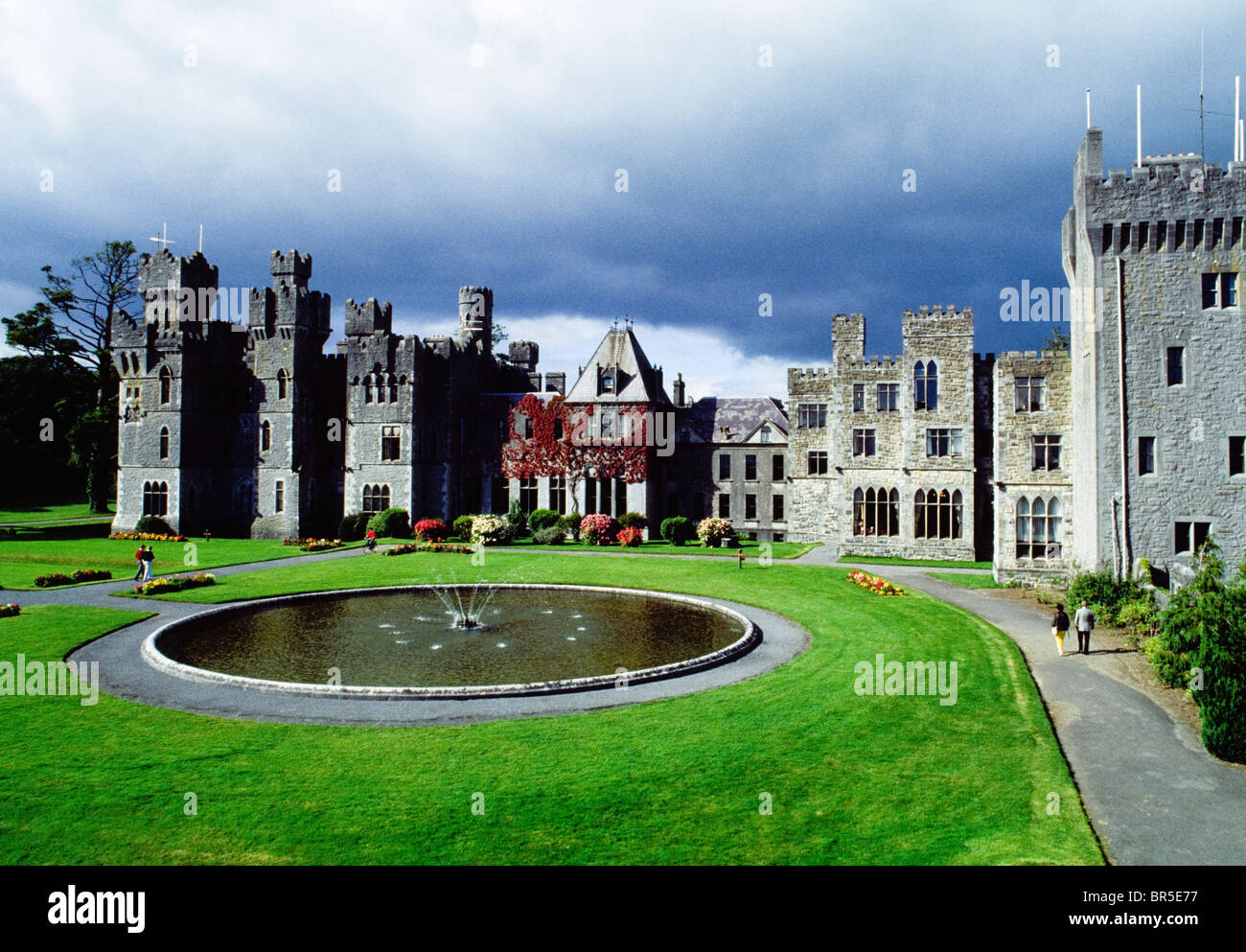 IndicatedEnclosure · 1615 yd
 Site of CastleCastle, unclassified · 1.3 mi
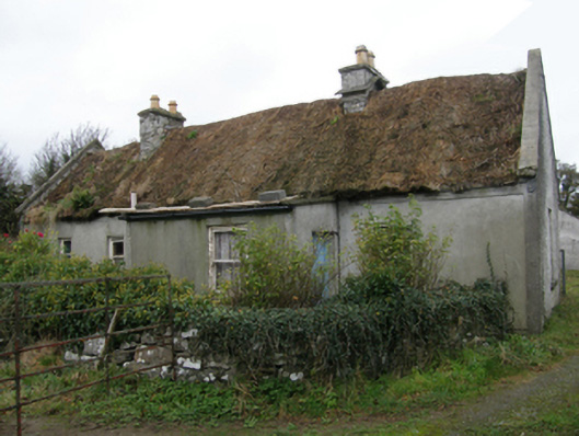 farm housefarm house · 1.7 mi
 Ballycurrin CastleCastle · 1.7 mi
 Japanese cedarJapanese cedar · 2.9 mi
 Ard na GaoitheHeritage attraction · 2.9 mi
 School of FalconryHeritage attraction · 2.9 mi
 Silver FirSilver Fir · 3.0 mi