What is recorded here
Killalane is where a hundred-metre inner circle and a two-hundred-metre outer circle still hold the church and graveyard, even though a road now cuts through them. The southern wall bends without apology, preserving the shape of an enclosure that predates the visible building. Whatever lived inside those concentric rings did so under open sky, surrounded by field boundaries and smaller enclosures that a 2003 geophysical survey brought back into view.
There is a marked curve in the southern end of the graveyard wall (DU005-024004-) suggesting the possible existence of an early ecclesiastical enclosure. A geophysical survey carried out in 2003 revealed two concentric enclosures , field boundaries and ancillary enclosures (Nicholls, 2003). The inner enclosure (diam 100m) and an outer enclosure (diam 200m) (Mac Shamhráin 2004, 57) surrounds the extant church (DU005-024001-) and graveyard and is bisected by the road.
Compiled by: Geraldine Stout
Updated by: Christine Baker
Date of upload: 14 November 2014
The monument record does not grant public access. Check the route and ask the landowner before entering private land.
- What survives
- Recorded monument
Places near here
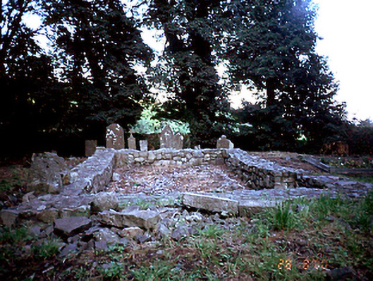 graveyard/cemeterygraveyard/cemetery · 30 yd
 Field system in Grange (balrothery East By., Holmpatrick Ed)Field system · 59 yd
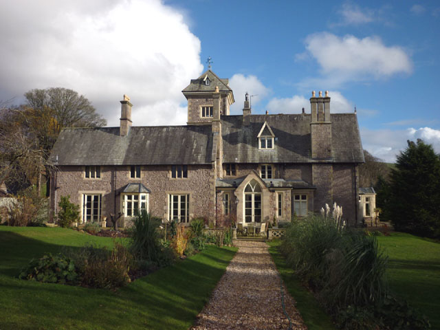 Enclosure in Grange (balrothery East By., Holmpatrick Ed)Enclosure · 258 yd
 KilnKiln, corn-drying · 307 yd
 Flat cemetery in BalcunninFlat cemetery · 480 yd
 BBQ AreaPicnic place · 1689 yd
 Black Hill NurseryWood · 1.1 mi
 Man O'War HillMountain / peak · 1.2 mi
 Ardgillan Castle and DemesneHeritage attraction · 1.3 mi
 New PlantationWood · 1.4 mi
 Castle (in ruins)Castle, Anglo-Norman masonry castle · 1.5 mi
 Flat cemetery in DarcystownFlat cemetery · 1.6 mi
Other information
Photo: Credit not shown in the picture search · Rights wording not checked; contact us if this picture should be removed