What is recorded here
Farrannabox is a worn oval on the southeast edge of Tuam where a railway now cuts through what once stood as a churchyard. A stone-faced bank still rises at the northeast, while field boundaries stretch across the rest, suggesting people lived around and through the holy place rather than keeping it untouched. The lost well and church hint that prayer, memory and everyday labour shared the same ground before the line divided it.
On SE outskirts of Tuam town (GA029-199----) Poorly preserved oval enclosure (N-S c. 250m, E-W c. 175m) overlain by field boundaries from WSW to W, and from N to ESE; the railway line cuts the monument at NNW and ESE. A substantial bank (Wth c. 2m) faced with a stone wall survives at NNE. A holy well (GA043-080002-) lay within the interior and there is also some evidence of a church here (pers. comm. M. Clyne).
The above description is derived from the published 'Archaeological Inventory of County Galway Vol. II - North Galway'. Compiled by Olive Alcock, Kathy de hÓra and Paul Gosling (Dublin: Stationery Office, 1999).
Date of upload: 05 August 2010
The monument record does not grant public access. Check the route and ask the landowner before entering private land.
- What survives
- Recorded monument
Places near here
 Tober JarlathHoly well · 82 yd
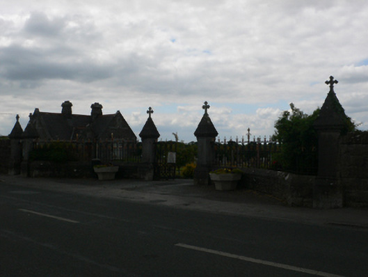 Tuam Cemeterygraveyard/cemetery · 379 yd
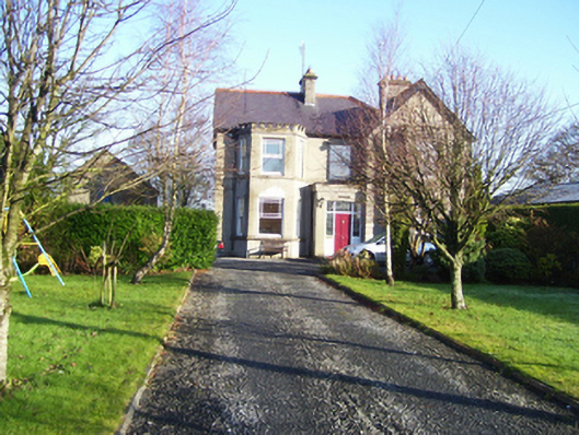 Lisieux Househouse · 688 yd
 CrossCross, High cross · 1027 yd
 CastleCastle, unclassified · 1238 yd
 Castle (in ruins)Castle, tower house · 2.2 mi
 European ashEuropean ash · 3.1 mi
 Mass RockNamed rock · 3.9 mi
 KnockmaaWood · 5.2 mi
 Knockmoy AbbeyHeritage attraction · 6.2 mi
 Kilcoona Round TowerHeritage attraction · 8.8 mi
 Ballinduff BayBay · 11 mi