What is recorded here
Situated in a low-lying landscape with rock outcrop. The ruined rectangular 18th-century church (RO010-040001-) within the rectangular graveyard (RO010-040002-) is within a large enclosure (diam. c. 200m) defined by a scarp (H up to 1.5m) N-E-SW, which extends S of a small ENE-WSW stream.
Compiled by: Michael Moore
Date of upload: 24 August 2010
The monument record does not grant public access. Check the route and ask the landowner before entering private land.
- What survives
- Recorded monument
Places near here
 IndicatedGraveyard · 7 yd
 TobernooneHoly well · 136 yd
 Moylung Castle (in ruins)Castle, unclassified · 793 yd
 R. C. ChapelChurch · 1049 yd
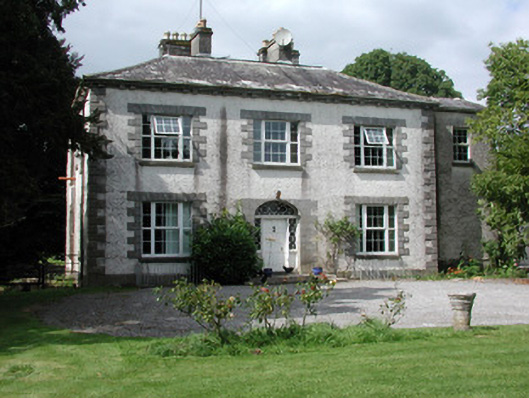 Moylurg Housecountry house · 1089 yd
 Castle (Site of)Castle, unclassified · 2.9 mi
 Lough Key Forest ParkWood · 3.1 mi
 Longford HillMountain / peak · 3.3 mi
 Horse-chestnutHorse-chestnut · 3.4 mi
 Western RedcedarWestern Redcedar · 3.4 mi
 Erris BayBay · 3.5 mi
 Castle IslandIslet · 3.7 mi