What is recorded here
Archaeological testing (96E0118) in advance of a graveyard extension explored an area (dims c. 60m E-W; c. 30m N-S) N of the old graveyard. An E-W ditch (Wth of top 2.3-3.5m; D 1.3) with stratified layers was encountered in two trenches c. 5m from the graveyard wall and parallel with it. Immediately outside this feature a larger fosse (Wth of top 4m plus; D 2.3m plus) was encountered, and both of these ditches may be from the N edge of an ecclesiastical enclosure. (Meenan 1996; 1996a; 1997)
Compiled by: MIchael Moore
Date of upload: 9 April, 2019
The monument record does not grant public access. Check the route and ask the landowner before entering private land.
- What survives
- Recorded monument
Places near here
 ChapelChurch · 39 yd
 Addie's WoodWood · 381 yd
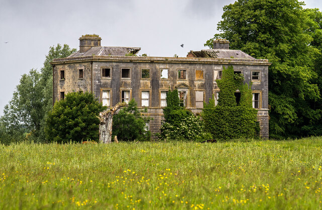 Williamstowncountry house · 399 yd
 Zephyr Bog WoodWood · 833 yd
 MountainpoleMountain / peak · 1750 yd
 Standing StoneArchaeological place · 1758 yd
 Kells Anglers Association MemorialMemorial · 1.3 mi
 Fulacht fia in Archdeaconry GlebeFulacht fia · 1.4 mi
 John Mac MahonMemorial · 1.6 mi
 DeerparkMountain / peak · 1.8 mi
 CastleCastle, unclassified · 1.8 mi
 Lime Kiln PlantationWood · 890 yd