
What is recorded here
Double earth walls circled St David's before Norman rules reached Dublin, marking the yard as sacred long before stone towers rose elsewhere. Horses now stamp the ancient line into mud, erasing the boundary that once separated the living from the dead. The church still stands inside the forgotten circle, waiting for people to remember that the ground was drawn around it, not the other way.
There are traces of a flat wide embankment NW of the church outside the graveyard wall (Wth.7m, H 0.40m) which is probably the remains of an ecclesiastical enclosure, suggesting a pre-Norman date for this site. Swan (1971) identified further traces of it ; a double enclosure that extends from the SW to the NE near the curving roadway which runs adjacent to St David's church. An aerial study established the presence of a low curving bank enclosing the churchyard to the N and E (Clinton 2005, 36). Visible on Bird's Eye view on Bing Maps. Has been fenced off for horse enclosure-area completely poached.
Compiled by: Geraldine Stout
Update by: Christine Baker
Date of upload: 02 January 2015
The monument record does not grant public access. Check the route and ask the landowner before entering private land.
- What survives
- Recorded monument
Places near here
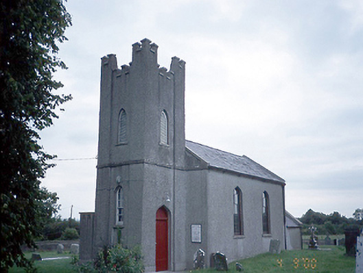 Saint David's Church (Kilsallaghan)church/chapel · 34 yd
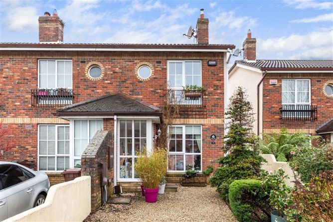 CastleCastle, tower house · 61 yd
 Field system in Castlefarm (nethercross By., Kilsallaghan Ed)Field system · 95 yd
 MoatEarthwork · 160 yd
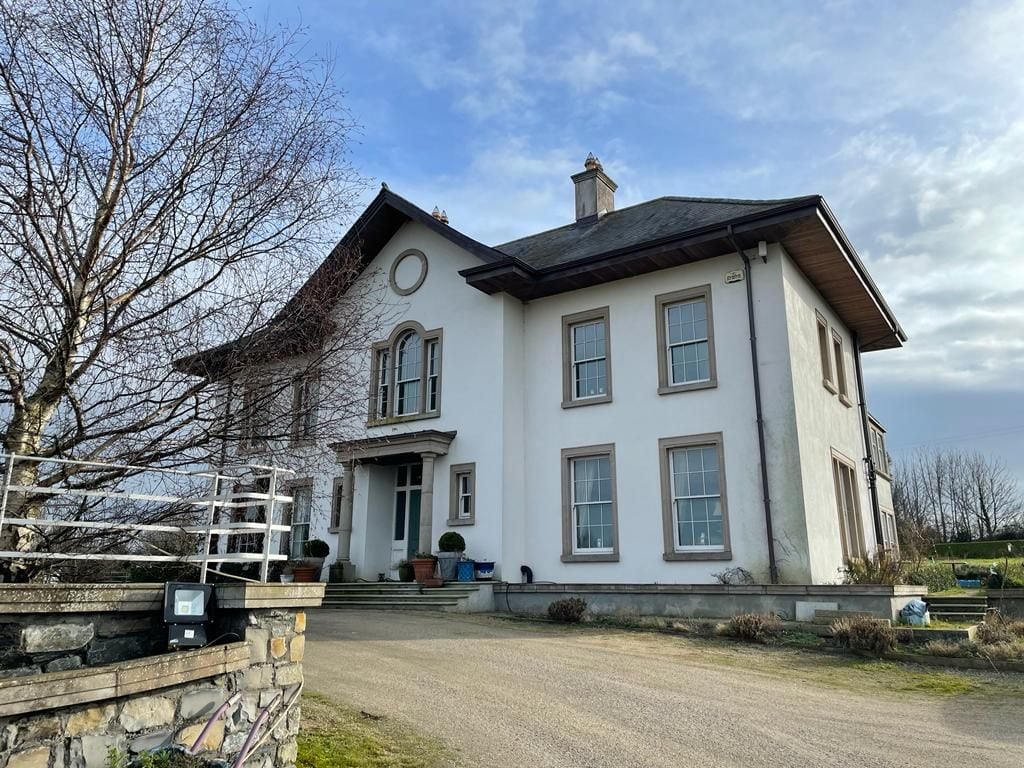 Kilcoskan HouseHouse, 16th/17th century · 1429 yd
 Freedagh MoatCastle, motte · 1735 yd
 Graveyard in KillosseryGraveyard · 1.0 mi
 Wooly Ward's FarmHeritage attraction · 2.4 mi
 AshbourneMemorial · 3.1 mi
 St Cronans WellSpring · 3.1 mi
 The JackoWood · 3.5 mi
 Horizon Logistics ParkVisitor information · 4.0 mi
Other information
Photo: Credit not shown in the picture search · Rights wording not checked; contact us if this picture should be removed