What is recorded here
On a rise in grassland overlooking Lough Corrib to SW. Marked on 1s ed. of OS 6-inch map as a circular enclosure (D c. 70m) just S of td. boundary. All that survives is the arc of a collapsed grassed-over stony bank (L c. 20m) at NW, which is overlain by a curving but modern field wall. A church (GA055-027002-) lies within the interior, and Cargin castle (GA055-028----) stands 490m to SSW.
The above description is derived from the published 'Archaeological Inventory of County Galway Vol. II - North Galway'. Compiled by Olive Alcock, Kathy de hÓra and Paul Gosling (Dublin: Stationery Office, 1999).
Date of upload: 05 August 2010
The monument record does not grant public access. Check the route and ask the landowner before entering private land.
- What survives
- Recorded monument
Places near here
 Man-made underground passage in CarginMan-made underground passage · 40 yd
 Castle (in ruins)Castle, hall-house · 516 yd
 BallynacreggaWood · 568 yd
 Fortification in IllauncarbryFortification · 956 yd
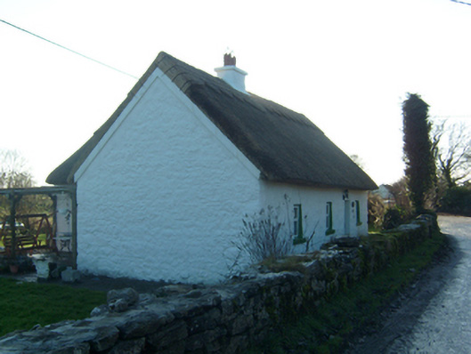 Willow Cottagehouse · 1673 yd
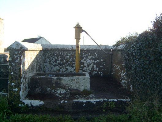 water pumpwater pump · 1.0 mi
 Annaghkeen CastleCastle · 1.9 mi
 Walsh's IslandIslet · 2.0 mi
 Freeheen IslandIslet · 2.1 mi
 Ross Errilly FriaryHeritage attraction · 2.9 mi
 Cúil DiarmuidWood · 4.3 mi
 Ballinduff BayBay · 4.3 mi