
What is recorded here
Indicated on the OS Fair Plan map within the NW quadrant of the ecclesiastical enclosure (GA055-027001-) associated with ‘Cargin Church’ (GA055-027002-) and named ‘Cave’ in Roman script. On inspection by the Galway Survey in July 1984 no visible surface trace of it was noted. According to local information, ‘a tunnel or Man-made underground passage’ led from the graveyard (GA055-027005-) to ‘Cargin Castle’ (GA055-028----) c. 490m to the SSW (Halpin et al. 2004, 7).
Compiled by: Olive Alcock
Date of upload: 18 September 2020
The monument record does not grant public access. Check the route and ask the landowner before entering private land.
- What survives
- Recorded monument
Places near here
 BallynacreggaWood · 533 yd
 Castle (in ruins)Castle, hall-house · 540 yd
 Fortification in IllauncarbryFortification · 967 yd
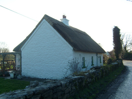 Willow Cottagehouse · 1689 yd
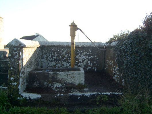 water pumpwater pump · 1.0 mi
 LisnamonaFairy fort / ringfort · 1.0 mi
 Annaghkeen CastleCastle · 1.9 mi
 Walsh's IslandIslet · 2.0 mi
 Freeheen IslandIslet · 2.1 mi
 Ross Errilly FriaryHeritage attraction · 2.9 mi
 Cúil DiarmuidWood · 4.3 mi
 Ballinduff BayBay · 4.3 mi
Other information
Photo: Credit not shown in the picture search · Rights wording not checked; contact us if this picture should be removed