
What is recorded here
On a bluff overlooking a N-S stream to E and S. The church (RO021-083001-) is within a graveyard (RO021-083002-) which is in the SE quadrant of an ecclesiastical enclosure recorded in remote sensing by the Discovery Programme during 2009. The enclosure (diam. c. 90m) is defined by two features that could be earthen banks placed 10m apart or it may be a wide bank with internal and external fosses. There are two outer concentric features that may represent additional enclosing elements (max. ext. diam. c. 240m N-S) or be part of the field system (RO021-083007-) centred on the ecclesiastical enclosure. Within the ecclesiastical enclosure is a smaller enclosure (RO021-083006-) that is situated just NW of the graveyard and is probably the earliest element of the site. (Shanahan 2013, 84)
Compiled by: Michael Moore
Date of upload: 10th September, 2010.
Amended: 30 July, 2013
A local fairy fort (ringfort/rath); wider significance not recorded.
The monument record does not grant public access. Check the route and ask the landowner before entering private land.
- What survives
- Recorded monument
Places near here
 Church (in Ruins)Church · 31 yd
 IndicatedFairy fort / earthen ringfort · 819 yd
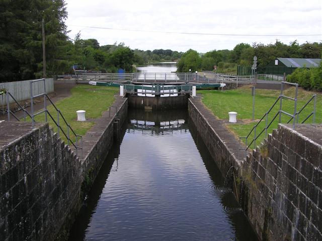 Embanked enclosureFairy fort / earthen ringfort · 1.2 mi
 NunneryReligious house, Augustinian, of Arrouaise nuns · 1.6 mi
 Silver IslandIslet · 2.1 mi
 Castlereagh HouseCastle, unclassified · 2.6 mi
 Workhouse MemorialMemorial · 2.6 mi
 Clonalis HouseMuseum · 3.5 mi
 GortnacushlaunCastle, unclassified · 4.0 mi
 Fairymount HillMountain / peak · 4.6 mi
 Druminagh WoodForest · 4.9 mi
 Coolougher WoodForest · 5.7 mi
Other information
Photo: Credit not shown in the picture search · Rights wording not checked; contact us if this picture should be removed