What is recorded here
In level mixed tillage and pasture. Visible on a series of aerial photographs (CUCAP AYL 75 and 78 (1969); BDH 70 (1970); BOC 56 9 (1973) and GB90.BC.07 and 08 (1990)) as the cropmarks of the fosses of two widely spaced and partly concentric circular enclosures (est. max. diam. c. 240m), with possible entrance gaps at W, surrounding Ardscull church (KD035-012001-) and graveyard (KD035-012004-). Also visible (GB90.BC.07) are cropmarks of five small rectilinear enclosures and a trackway extending beyond the curvilinear components, suggesting an associated field system.
Compiled by: Gillian Barrett and Gearóid Conroy
Date of revision: 04 December 2013
The monument record does not grant public access. Check the route and ask the landowner before entering private land.
- What survives
- Recorded monument
Places near here
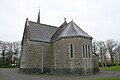 Church in ArdscullChurch · 2 yd
 Enclosure in ArdscullEnclosure · 793 yd
 Enclosure in InchEnclosure · 980 yd
 Gorden Bennet Race memorialMemorial · 1506 yd
 History of Moat of ArdscullVisitor information · 1534 yd
 European BeechEuropean Beech · 1536 yd
 Inch WoodForest · 1558 yd
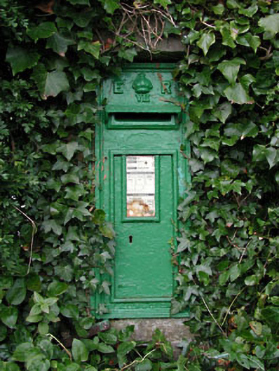 post boxpost box · 1570 yd
 Ardscull MoatCastle, motte · 1587 yd
 Inch CastleCastle, tower house · 1.2 mi
 Burtown House and GardensHeritage attraction · 1.8 mi
 1798 memorialMemorial · 3.7 mi