What is recorded here
In sheltered bay in NE of Lough Corrib. Oval-shaped island (30m N-W; 40m E-W) may be an artificial stone cairn. Interior covered by dense vegetation.
The above description has been derived from D. Lavelle (compiler), An Archaeological Survey of Ballinrobe and District including Lough Mask and Lough Carra. Lough Mask and Lough Carra Tourist Development Association (1994), No. 305.
Date of upload: 12 January 2015
The monument record does not grant public access. Check the route and ask the landowner before entering private land.
- What survives
- Recorded monument
Places near here
 Bartragh IslandIslet · 202 yd
 Easter IslandIslet · 336 yd
 Moytura Househouse · 1104 yd
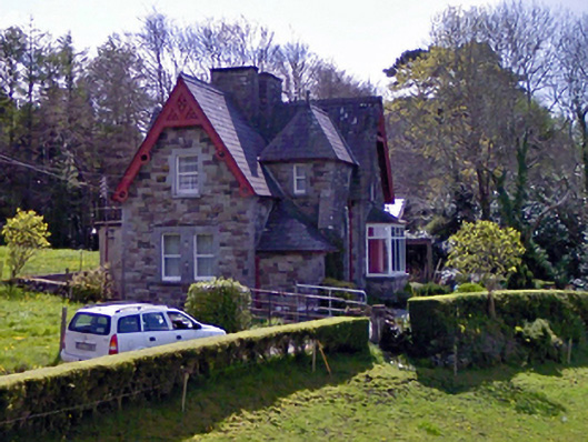 worker's houseworker's house · 1225 yd
 IndicatedFairy fort / earthen ringfort · 1486 yd
 Caher SpeenaunFairy fort / stone ringfort · 1637 yd
 Silver FirSilver Fir · 1.4 mi
 Japanese cedarJapanese cedar · 1.5 mi
 Kelly's CaveCave · 1.5 mi
 Cong AbbeyHeritage attraction · 1.5 mi
 Site of CastleCastle, unclassified · 1.5 mi
 School of FalconryHeritage attraction · 1.5 mi