
What is recorded here
East Saltoun, Limeworks is works in East Lothian, Scotland.
Places near here
Photo credits
- Maker not stated on source page, commons.wikimedia.org
- M J Richardson, Wikimedia Commons · CC BY-SA 2.0
- Richard Webb, Wikimedia Commons · CC BY-SA 2.0
- Maker not stated on source page, outaboutscotland.com
- Scott Cormie, Wikimedia Commons · CC BY-SA 2.0
- Maker not stated on source page, www.alamy.com
- Lisa Jarvis, Wikimedia Commons · CC BY-SA 2.0
- Dr Duncan Pepper, Wikimedia Commons · CC BY-SA 2.0
- kim traynor, Wikimedia Commons · CC BY-SA 2.0
 Strawberry WoodsForest · 695 yd
 East MainsSettlement · 775 yd
 East SaltounFarmhouse (early 18th Century) - (mid 18th Century), Farmhouse (early 20th Century) (1920), Pit(s) (medieval), Organic Material(s) (bone)(medieval), Organic Material(s) (shell)(medieval), Unidentified Pottery(s) (medieval) · 942 yd
 East Saltoun, the Old CastleHouse (early 18th Century) · 1004 yd
 East Saltoun, Parish Church and ChurchyardBurial Ground (19th Century), Church (19th Century) (1805), War Memorial(s) (20th Century) · 1024 yd
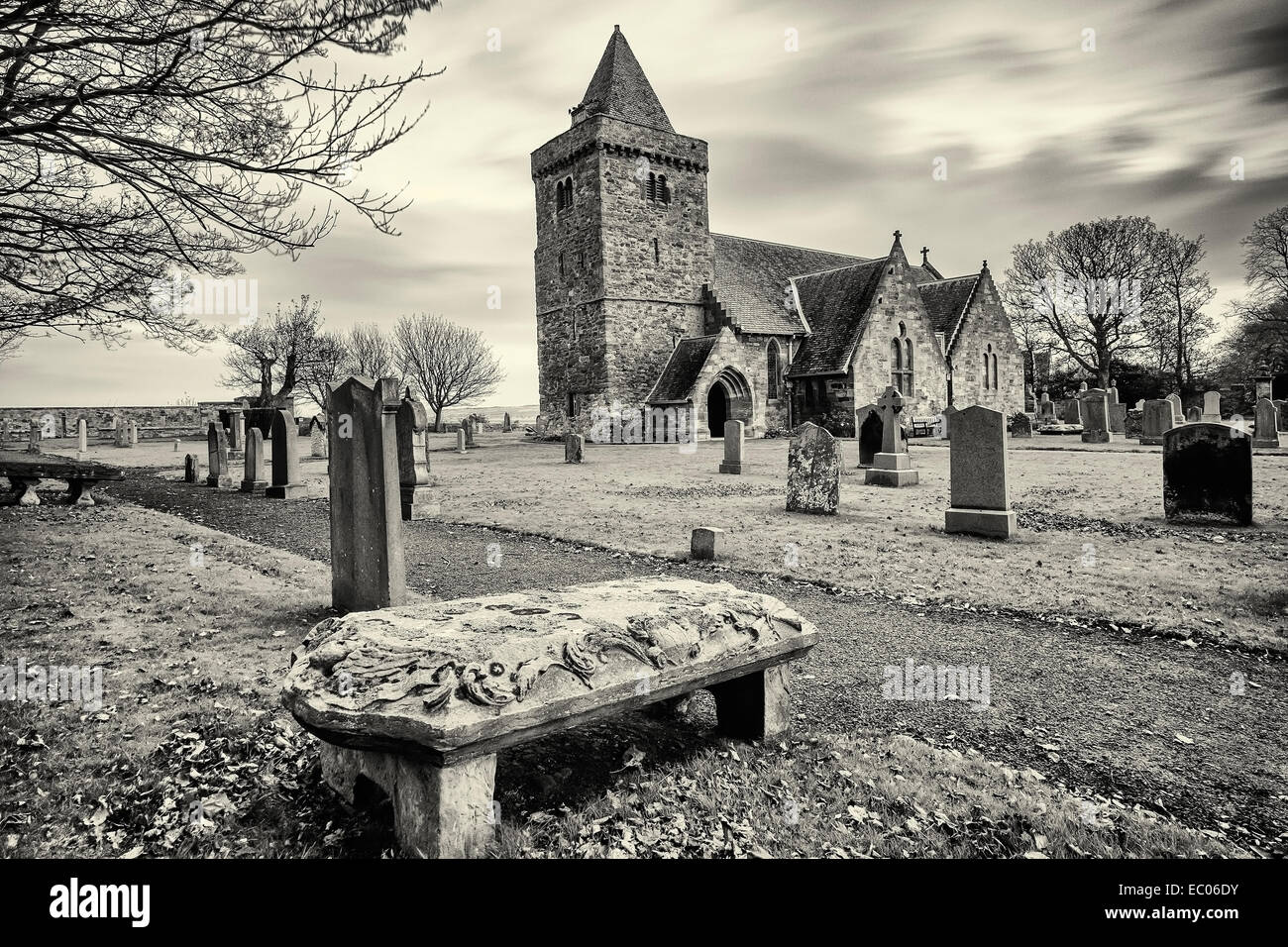 Mapped graveyardGraveyard · 1024 yd
 East BlanceGarden · 1061 yd
 Dryden WoodForest · 1447 yd
 MiddlemainsQuarry · 1487 yd
 Howden WoodWood · 1508 yd
 CauldshielFinger Post (20th Century) · 1598 yd
 Saltoun HallCastle (medieval), Country House (19th Century) · 1.4 mi
More archaeology and monuments in East Lothian · All of East Lothian

What do you know about this place?Tap to add a comment or ask a question