What is recorded here
East Muirdykes is a farmstead in Renfrewshire, Scotland.
Places near here
Photo credits
- Chris Court, Wikimedia Commons · CC BY-SA 2.0
- Leslie Barrie, Wikimedia Commons · CC BY-SA 2.0
- Thomas Nugent, Wikimedia Commons · CC BY-SA 2.0
- Gordon Dowie, Wikimedia Commons · CC BY-SA 2.0
- wfmillar, Wikimedia Commons · CC BY-SA 2.0
- Billy McCrorie, Wikimedia Commons · CC BY-SA 2.0
- Richard Webb, Wikimedia Commons · CC BY-SA 2.0
- Richard Sutcliffe, Wikimedia Commons · CC BY-SA 2.0
- Maker not stated on source page, www.dreamstime.com
 MuirdykesBattle Site (17th Century) · 269 yd
 Howwood, Bowfield Road, Church of Christ the KingChurch (20th Century) · 571 yd
 Skiff WoodWood · 733 yd
 Howwood, Main Street, Parish ChurchChurch (late 19th Century) · 831 yd
 Howwood, Midton Road, GarageGarage (20th Century) · 875 yd
 BurnsideFarmstead · 890 yd
 Elliston CastleTower House (medieval) · 909 yd
 Howwood StationRailway Station (19th Century) - (20th Century) · 1029 yd
 Broadfield HillMountain / peak · 1064 yd
 Elliston Bridge, Elliston Bridge CottageCottage · 1231 yd
 Howwood, Station Road, Garthland BridgeBoundary Wall, Road Bridge · 1243 yd
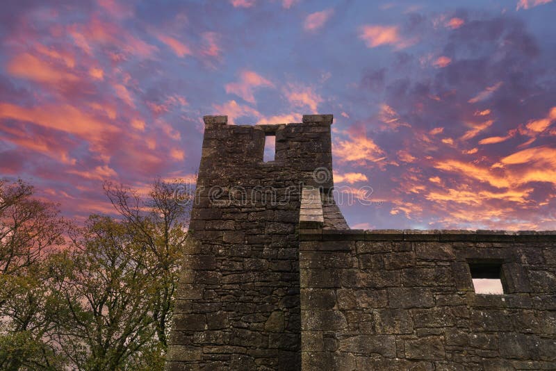 Castle SempleNo Class (event) · 1248 yd
More historic places in Renfrewshire · All of Renfrewshire

What do you know about this place?Tap to add a comment or ask a question