What is recorded here
Situated on slight rise in grassland. Depicted as an earthwork on Larkin’s 1808 map of Co. Westmeath (NLI, MS 46,580). No surface remains visible of any monument at this location.
Compiled by: Frank Coyne and Caimin O'Brien
Date of upload: 10 April 2018
The monument record does not grant public access. Check the route and ask the landowner before entering private land.
- What survives
- Recorded monument
Places near here
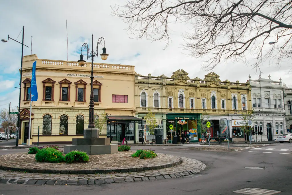 Bawn in Williamstown (briscoe)Bawn · 415 yd
 Castle in ruinsCastle, unclassified · 426 yd
 Font in Killulagh,williamstown (rochford)Font · 429 yd
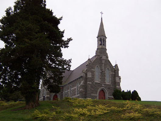 Saint Livinius's Catholic Churchchurch/chapel · 441 yd
 Ecclesiastical enclosure in KillulaghEcclesiastical enclosure · 702 yd
 Church in ruinsChurch · 716 yd
 GinkgoGinkgo · 1.0 mi
 The FurzeForest · 4.7 mi
 Kells HillMountain / peak · 7.3 mi
 Seafin HillMountain / peak · 8.0 mi
 Croppies' GraveMemorial · 12 mi
 CastleCastle, ringwork · 476 yd