What is recorded here
On a ridge running E-W, 150m S of the Ballinure River. Marked on 1st ed. of OS 6-inch map as a D-shaped enclosure immediately SE of a tree-planted garden or orchard, while on 3rd ed. (1946) it is shown as a roughly oval enclosure (c. 50m by c. 40m). What survives is a low grass-covered oval stony mound (E-W 17m, N-S 9m, H 1.5 max.), centrally placed within a roughly circular area (D 19m) defined by a low scarp. A causeway (L 21m, Wth 7m) leads off from it to E along the ridge. Traces of a curving bank/scarp are also visible at the base of the ridge from NW through N to E, and from SE through S to SSW. Possibly a landscape feature or a landscaped barrow.
The above description is derived from the published 'Archaeological Inventory of County Galway Vol. II - North Galway'. Compiled by Olive Alcock, Kathy de hÓra and Paul Gosling (Dublin: Stationery Office, 1999).
Date of upload: 05 August 2010
The monument record does not grant public access. Check the route and ask the landowner before entering private land.
- What survives
- Recorded monument
Places near here
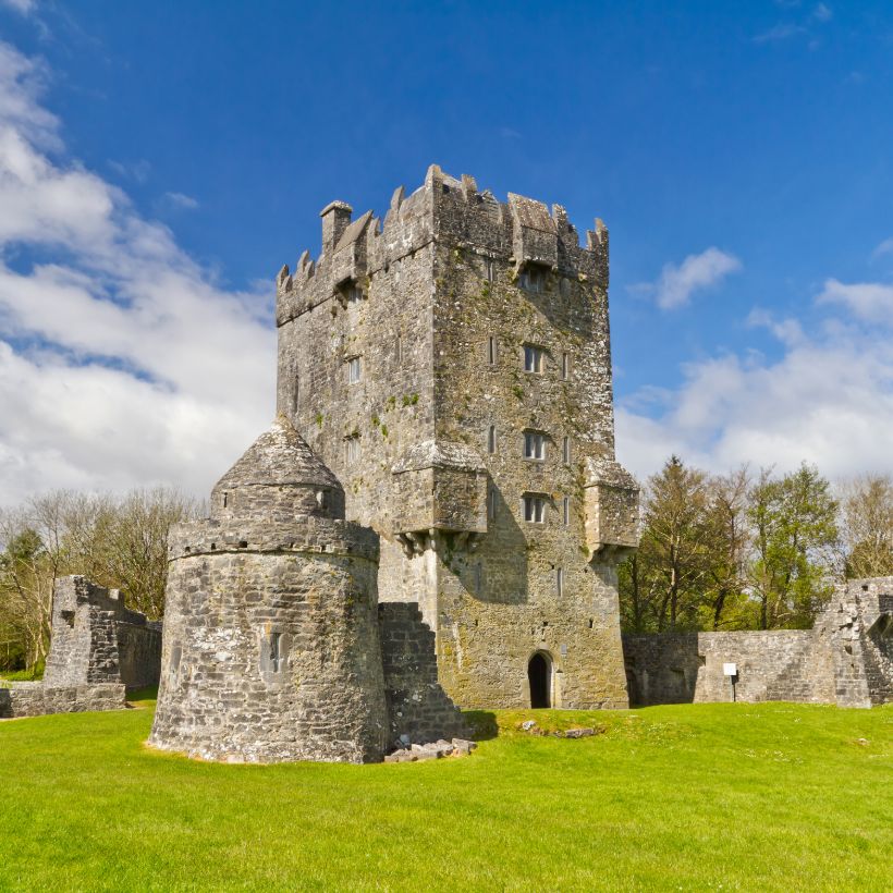 Enclosure in UrraghryEnclosure · 376 yd
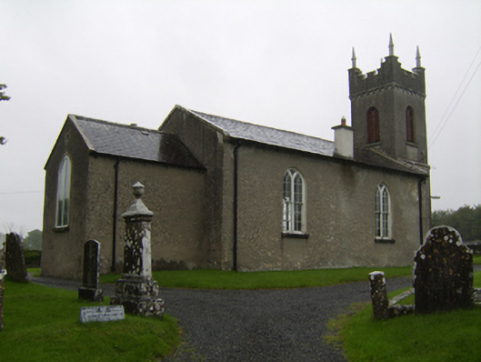 Saint Matthew's Church (Clontuskert)church/chapel · 750 yd
 Urraghry HillMountain / peak · 809 yd
 IndicatedFairy fort / earthen ringfort · 816 yd
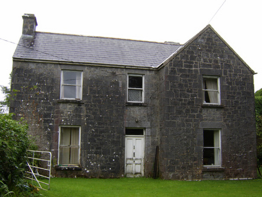 Rosglosshouse · 1.3 mi
 The bloody HollowHeritage attraction · 1.4 mi
 Ballagh Castle (in Ruins)Castle, unclassified · 1.4 mi
 West WoodWood · 1.5 mi
 Battle of AughrimMajor battlefield · 1.7 mi
 Castle (Site of)Castle, Anglo-Norman masonry castle · 1.9 mi
 Battle of Aughrim Interpretative CentreMuseum · 1.9 mi
 Oak WoodWood · 2.7 mi