What is recorded here
In tillage field. Oval-shaped cropmark (diam. c. 25m) visible on Apple Maps orthoimage and on Google Earth orthoimage taken 03/07/2019.
See attached orthoimage taken from Apple Maps and Google Earth orthoimage
Compiled by: Caimin O'Brien based on details provided by Jean-Charles Caillère
Date of upload: 21 December 2022
The monument record does not grant public access. Check the route and ask the landowner before entering private land.
- What survives
- Recorded monument
Places near here
 post boxpost box · 239 yd
 Holm OakHolm Oak · 291 yd
 St. Annes WoodsWood · 292 yd
 Watermill CottageHouse, 16th/17th century · 333 yd
 St. Anns WellHoly well · 385 yd
 Hermit's CaveMonument · 408 yd
 Bull Island Nature ReserveVisitor information · 409 yd
 Rockwork FeatureMonument · 435 yd
 Battle of ClontarfMajor battlefield · 1.3 mi
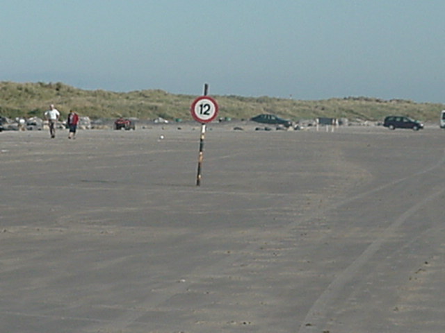 Dollymount StrandBeach / strand · 1.4 mi
 Clontarf War MemorialMemorial · 1.5 mi
 Ayrfied UnitedHeritage attraction · 1.6 mi