What is recorded here
Situated on low-lying poorly drained floodplains of nearby river. Low elongated mound of alluvial silt with no evidence of any enclosing bank or fosse. Not marked on first two editions of the OS 6-inch maps. Hachured as an oval shaped mound or platform on the revised 1908 ed. OS 25-inch map. This earthwork may have formed as the result of floodings over the years. Doubtful antiquity.
The above description is derived from the published 'Archaeological Inventory of County Offaly' (Dublin: Stationery Office, 1997). In certain instances the entries have been revised and updated in the light of recent research.
Date of upload/revision: 30 December 2011
The monument record does not grant public access. Check the route and ask the landowner before entering private land.
- What survives
- Recorded monument
Places near here
 Lea Church (in Ruins)Church · 828 yd
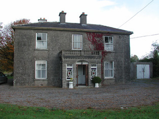 Trascan Housefarm house · 922 yd
 Lea Castle (in ruins)Castle, Anglo-Norman masonry castle · 1026 yd
 CastleCastle, ringwork · 1076 yd
 Church (in Ruins), GraveyardChurch · 1.9 mi
 Enclosure in DerryleaEnclosure · 1.9 mi
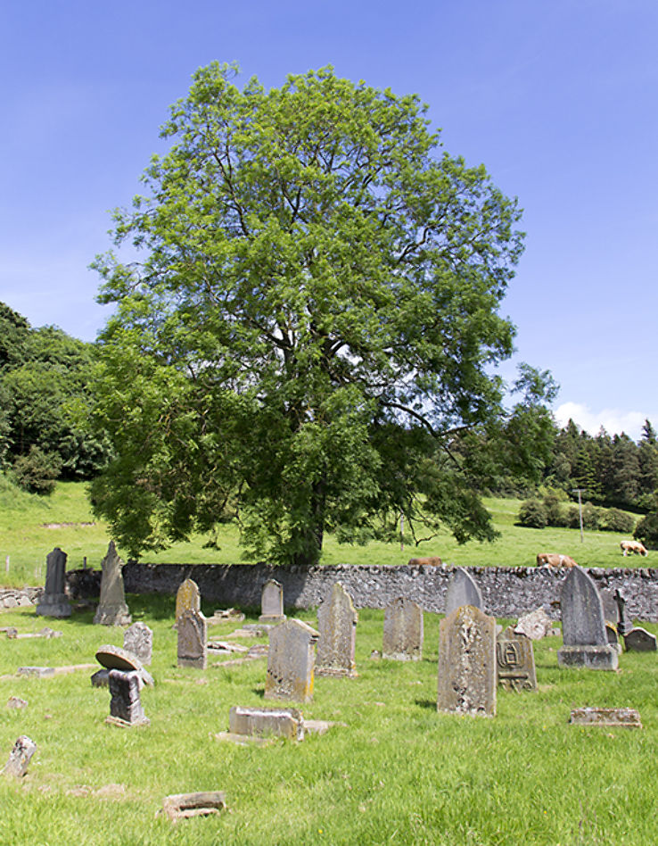 Burial ground in DerryvillaBurial ground · 2.2 mi
 Bog Lake WalkWalking route · 2.3 mi
 Derryounce Walk (Yellow Loop)Walking route · 2.5 mi
 Derryounce Lakes & TrailsNature reserve · 2.9 mi
 Wych ElmWych Elm · 3.2 mi
 Emo CourtHeritage attraction · 4.5 mi