What is recorded here
In Thomastown, an oval scar forty metres long still cuts through reclaimed pasture, its buried ridge waiting for rain to reveal the shape of a forgotten home. The land has been folded under grass and farm traffic, yet the hollow line remains sharp enough for a satellite to read. It is the kind of place where ordinary soil keeps a private memory, holding the ghost of a field fence or fort wall long after the people who built it disappeared.
In reclaimed pasture 100m E of the townland boundary with Mountblakeney. Possible ringfort (LI047-041----) lies 250m to W. Not depicted on the 1840 ed. OSi 6-inch map. It is shown on the 1897 ed. OSi 25-inch map as a raised oval-shaped area (dims. c. 40m NE-SW; 30m NW-SE) defined by a scarp with fosse from SE-W-NE. Outline of earthwork defined by a fosse, is clearly visible on Google Earth orthoimages where it is intersected at E by farm track running NW-SE.
See attached Google Earth orthoimages.
Compiled by: Martin Fitzpatrick
Date of upload: 17 August 2021
The monument record does not grant public access. Check the route and ask the landowner before entering private land.
- What survives
- Recorded monument
Places near here
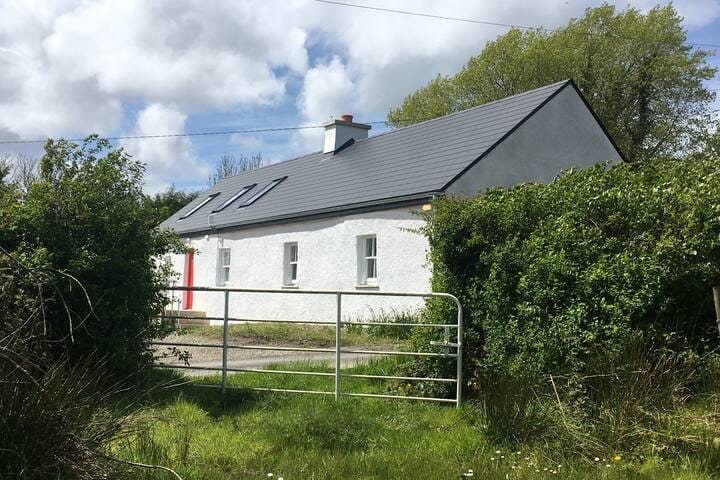 Habitation site in MountblakeneyHabitation site · 1006 yd
 IndicatedCastle, unclassified · 1079 yd
 Holy well in Kilbreedy (coshma By., Bruree Ed)Holy well · 1080 yd
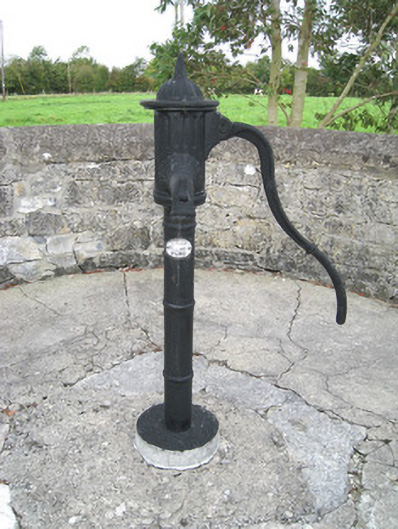 water pumpwater pump · 1276 yd
 Kilbreedy Church (in ruins)Church · 1485 yd
 Lady's WellSpring · 1.5 mi
 ToberSpring · 1.6 mi
 Site of CastleCastle, unclassified · 2.2 mi
 King John's CastleCastle · 2.5 mi
 Holy Cross CemeteryGraveyard · 3.1 mi
 Caher HillMountain / peak · 4.4 mi
 BallinaboolaVisitor information · 4.7 mi