What is recorded here
Probably associated with a 17th-century house (LF023-123001-) that may have been incorporated into 'Tennalick House', a now-derelict 18th-century house. A series of earthworks are visible on an aerial photograph (SMR file) to the NW of the house. They may be part of a field system of pre-AD 1700 date as five fields are evident. However, a sunken linear feature suggests the possibility that they may be part of a landscaped garden and that the sunken feature is a pathway through it. Two roughly parallel NW-SE running banks are also visible to the SE of the house, in the field adjacent to the river. Again, they may be associated with the 17th-century house.
Compiled by: Patrick F. O'Donovan and Caimin O'Brien
Date of upload: 13 March 2013
The monument record does not grant public access. Check the route and ask the landowner before entering private land.
- What survives
- Recorded monument
Places near here
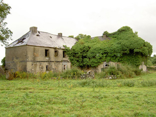 Tennalick Househouse · 149 yd
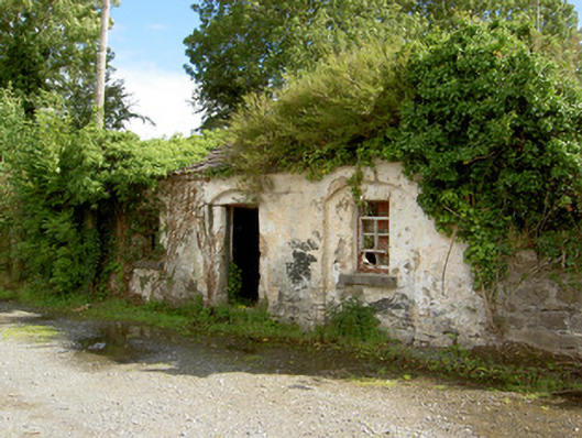 39th Locklock keeper's house · 211 yd
 Mound in ClynanMound · 730 yd
 Abbeyshrule AbbeyRuins · 1192 yd
 Cross in AbbeyshruleCross · 1282 yd
 Common LimeCommon Lime · 1386 yd
 Goldsmith Birthplace, PallasVisitor information · 1.5 mi
 European BeechEuropean Beech · 1.7 mi
 Craft WorkshopHeritage attraction · 2.0 mi
 Guest ServicesVisitor information · 2.0 mi
 Not locatedCastle, unclassified · 2.2 mi
 DoonphilipCastle, motte · 2.7 mi