What is recorded here
Templepark holds low earthen banks radiating from an ancient enclosure beside a church, visible mainly through aerial photographs rather than ground walking. The banks form narrow terraces on the ridge, suggesting people shaped the land for cultivation, boundary marking or ritual display. Two fainter enclosures lie south of the main one, partly erased by a modern field boundary. The site is less a monument than a shadow of human activity, preserved in soil and revealed from above.
Associated with an enclosure (GA087-211004-) and church (GA087-211001-). Aerial reconnaissance in August 1984 (ASGAP 171:10) brought to light a series of low earthen banks and/or scarps on the ridge. These formed narrow terraces in places. A number of the banks appear to radiate from the enclosure. Two other possible curvilinear enclosures (E-W 22m and c. 50m) were also noted, c. 100m to S of the latter. These are defined by a scarp and a bank, respectively, and both are partially overlain by a modern field boundary running NE-SW. Little or no trace of them survives to N of the boundary.
The above description is derived from the published 'Archaeological Inventory of County Galway Vol. II - North Galway'. Compiled by Olive Alcock, Kathy de hÓra and Paul Gosling (Dublin: Stationery Office, 1999).
Date of upload: 05 August 2010
The monument record does not grant public access. Check the route and ask the landowner before entering private land.
- What survives
- Recorded monument
Places near here
 Enclosure in TempleparkEnclosure · 31 yd
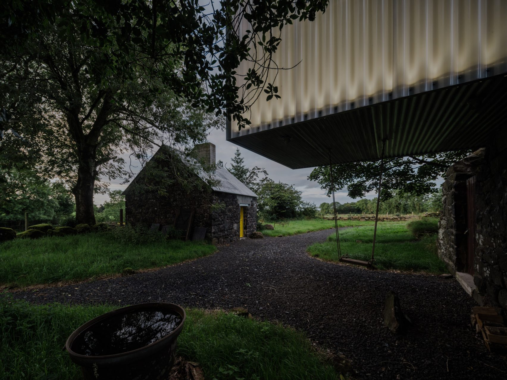 Enclosure in TristaunEnclosure · 978 yd
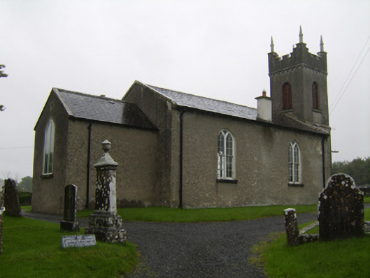 Saint Matthew's Church (Clontuskert)church/chapel · 1179 yd
 Ballagh Castle (in Ruins)Castle, unclassified · 1407 yd
 Urraghry HillMountain / peak · 1736 yd
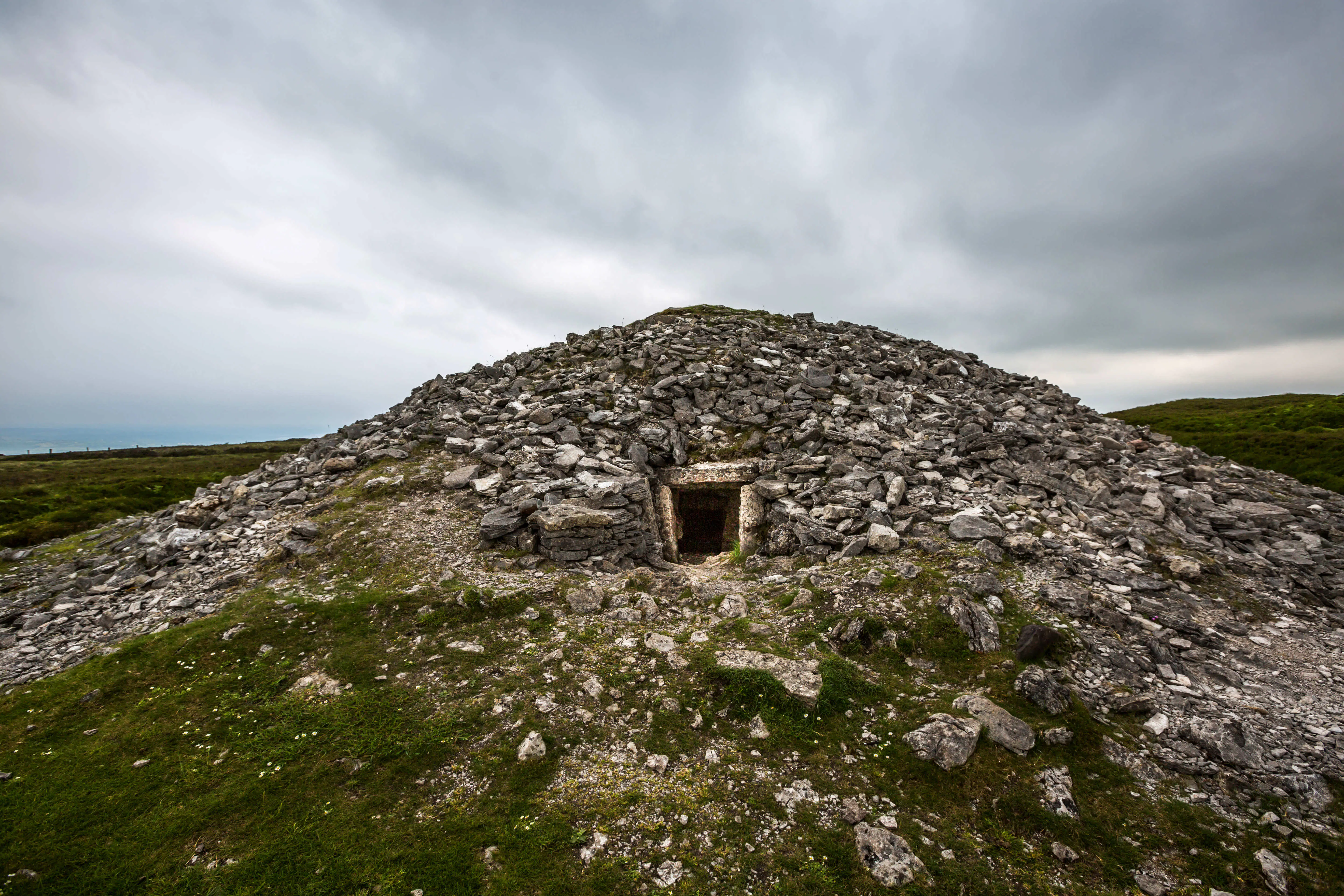 Quarry in Carrowkeel (clonmacnowen By.)Quarry · 1.2 mi
 The bloody HollowHeritage attraction · 1.5 mi
 Battle of AughrimMajor battlefield · 1.8 mi
 West WoodWood · 2.2 mi
 Battle of Aughrim Interpretative CentreMuseum · 2.2 mi
 Castle (Site of)Castle, Anglo-Norman masonry castle · 2.2 mi
 European BeechEuropean Beech · 2.8 mi