What is recorded here
Located on a rise in an undulating landscape. It is depicted as a hachured feature only on the 1908 edition of the OS 6-inch map. This is a subcircular grass-covered area (dims 20m NE-SW; 17m NW-SE) defined by a slight scarp that melds into the natural slope.
The above description is derived from the published 'Archaeological Inventory of County Meath' (Dublin: Stationery Office, 1987). In certain instances the entries have been revised and updated in the light of recent research.
Compiled by: Michael Moore
Date of revision: 5 September 2018
The monument record does not grant public access. Check the route and ask the landowner before entering private land.
- What survives
- Recorded monument
Places near here
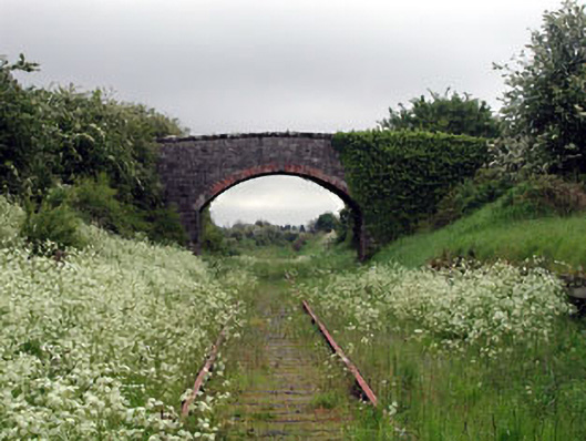 bridgebridge · 1057 yd
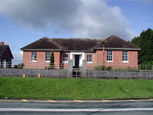 Nobber Technical Schoolschool · 1086 yd
 Nobber GreenwayMemorial · 1107 yd
 Cross in NobberCross · 1149 yd
 Enclosure in BrittasEnclosure · 1150 yd
 Common LimeCommon Lime · 1274 yd
 MoatCastle, motte and bailey · 1377 yd
 Cherburg WoodForest · 1629 yd
 Gallows HillMountain / peak · 1.2 mi
 HeadstownMountain / peak · 1.3 mi
 Castletown FortCastle, motte and bailey · 2.2 mi
 Owenroe and Moynalty DrainageMemorial · 3.0 mi