What is recorded here
In tillage field. Partial outline of oval-shaped cropmark (diam. c. 60m) visible on Apple Maps orthoimage. Faint cropmark visible on Google Earth orthoimages
See attached orthoimage taken from Apple Maps and Google Earth orthoimages
Compiled by: Caimin O'Brien based on details provided by Jean-Charles Caillère
Date of upload: 23 December 2022
The monument record does not grant public access. Check the route and ask the landowner before entering private land.
- What survives
- Recorded monument
Places near here
 Rathmichael ChurchChurch · 270 yd
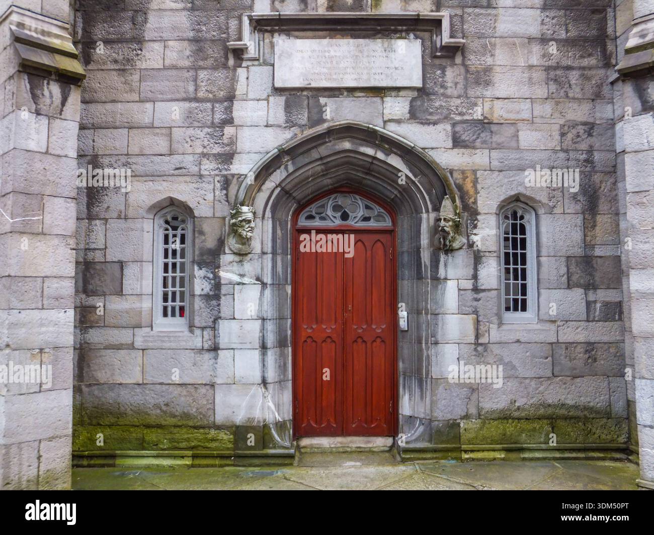 Ecclesiastical enclosure in RathmichaelEcclesiastical enclosure · 309 yd
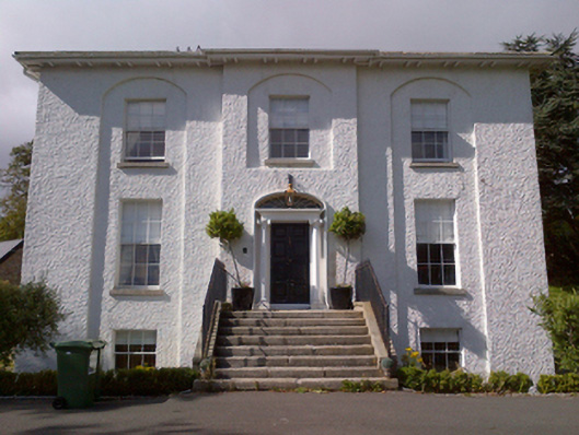 Shankill Housecountry house · 523 yd
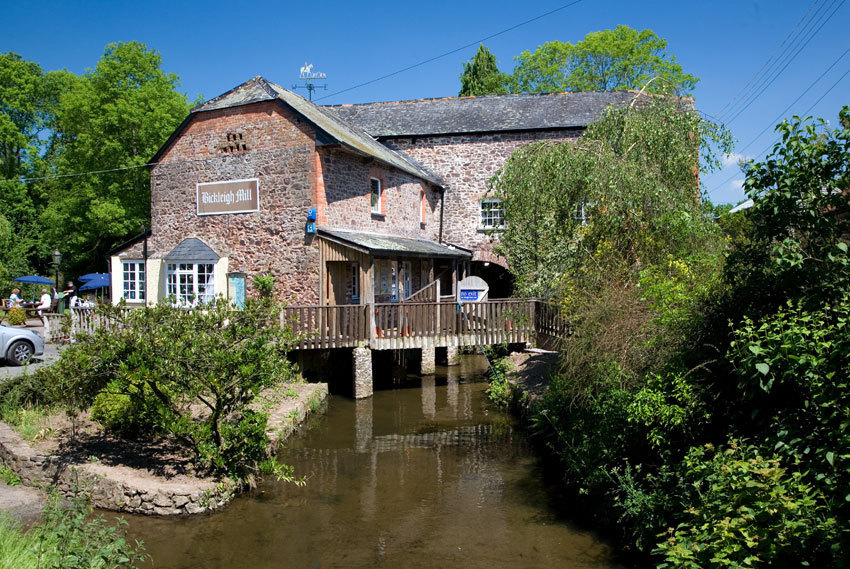 Site of Tuck MillMill, fulling · 634 yd
 Rathmichael WalkWalking route · 736 yd
 Puck's CastleCastle · 784 yd
 Bawn in RathmichaelBawn · 789 yd
 Dublin Mountains Way Trailhead SignVisitor information · 1729 yd
 Loughlinstown WoodsNature reserve · 1.0 mi
 Carrickgollogan HillMountain / peak · 1.3 mi
 Dingle GlenNature reserve · 1.4 mi
 St. James GateVisitor information · 1.4 mi