What is recorded here
Mullinastill House still stands east of the vanished mill, preserving the name of a place that water and time erased. The site of Tuck Mill occupied the south bank of a Brides Glen stream, likely fulling cloth or crushing grain until the work stopped and the building fell away. What is gone is not forgetful; it is named in a house wall, waiting for someone to ask what the mill did and who fed it.
The site was located south of the Brides Glen Road, on the south bank of the stream and east of the M50. The 1837 OS 6-inch map indicates the 'site of tuckmill'. It is not shown on the 1937 OS 6-inch map but the house name Mullinastill House at a distance to the E indicates the former presence of a mill.
Compiled by: Geraldine Stout and Padraig Clancy.
Revised upload on: 21 April 2018.
The monument record does not grant public access. Check the route and ask the landowner before entering private land.
- What survives
- Recorded monument
Places near here
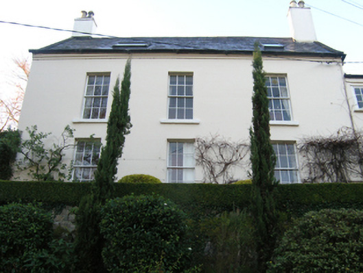 Rathmichaelrectory/glebe/vicarage/curate's house · 107 yd
 Mullinastill Housefarm house · 149 yd
 Fulacht fia in CherrywoodFulacht fia · 595 yd
 CarnCairn, unclassified · 732 yd
 Loughlinstown WoodsNature reserve · 1145 yd
 Shanganagh CastleCastle, tower house · 1277 yd
 Rathmichael WalkWalking route · 1343 yd
 Puck's CastleCastle · 1412 yd
 Dublin Mountains Way Trailhead SignVisitor information · 1629 yd
 Michael DavittMemorial · 1.2 mi
 Monterey CypressMonterey Cypress · 1.3 mi
 St. James GateVisitor information · 1.4 mi
Other information
Photo: Credit not shown in the picture search · Rights wording not checked; contact us if this picture should be removed