
What is recorded here
The site lies on a ridge to the S of the church (DU026-023001-) overlooking Bride's Glen. This is an overgrown area of rock outcrop with some loose stones. There was some doubt expressed in the OS Memoranda as to whether this was actually an archaeological site. It was described as an area that was too stony to till. Marked as a 'carn' on the 1843 OS 6-inch map (Fanning 1974, 151).
Compiled by: Geraldine Stout and Padraig Clancy.
Revised upload on: 14 April 2018.
The monument record does not grant public access. Check the route and ask the landowner before entering private land.
- What survives
- Recorded monument
Places near here
 Field system in LaughanstownField system · 106 yd
 CairnCairn, ring-cairn · 176 yd
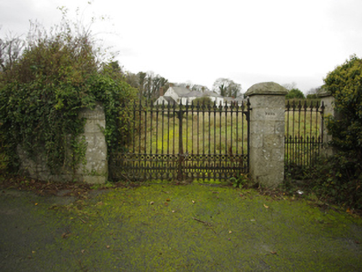 Lehaunstown Parkfarm house · 612 yd
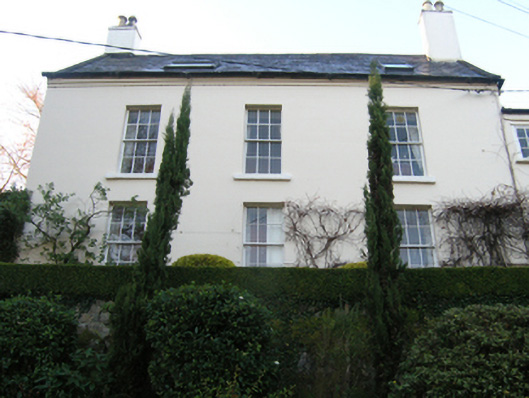 Rathmichaelrectory/glebe/vicarage/curate's house · 745 yd
 Puck's CastleCastle · 1230 yd
 Bawn in RathmichaelBawn · 1253 yd
 Rathmichael WalkWalking route · 1398 yd
 Loughlinstown WoodsNature reserve · 1712 yd
 Dingle GlenNature reserve · 1.2 mi
 Michael DavittMemorial · 1.4 mi
 Proclamation of the Irish RepublicMemorial · 1.4 mi
 Cabinteely Park OrchardVisitor information · 1.5 mi
Other information
Photo: Credit not shown in the picture search · Rights wording not checked; contact us if this picture should be removed