What is recorded here
Situated in tillage beside small quarry. Cropmark of semi-circular-shaped earthwork (diam. c. 48m) visible on Google Earth orthoimage taken 19/07/2021.
See attached Google Earth orthophoto
Compiled by: Caimin O'Brien based on details provided by Jean-Charles Caillère
Date of upload: 16 May 2022
The monument record does not grant public access. Check the route and ask the landowner before entering private land.
- What survives
- Recorded monument
Places near here
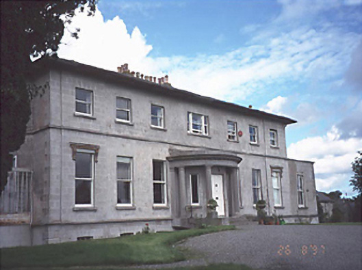 Rath Househouse · 476 yd
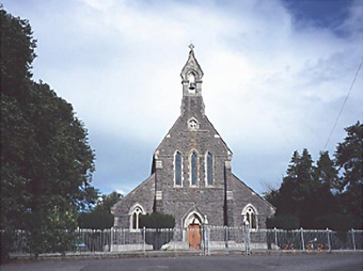 Catholic Church of the Sacred Heartchurch/chapel · 778 yd
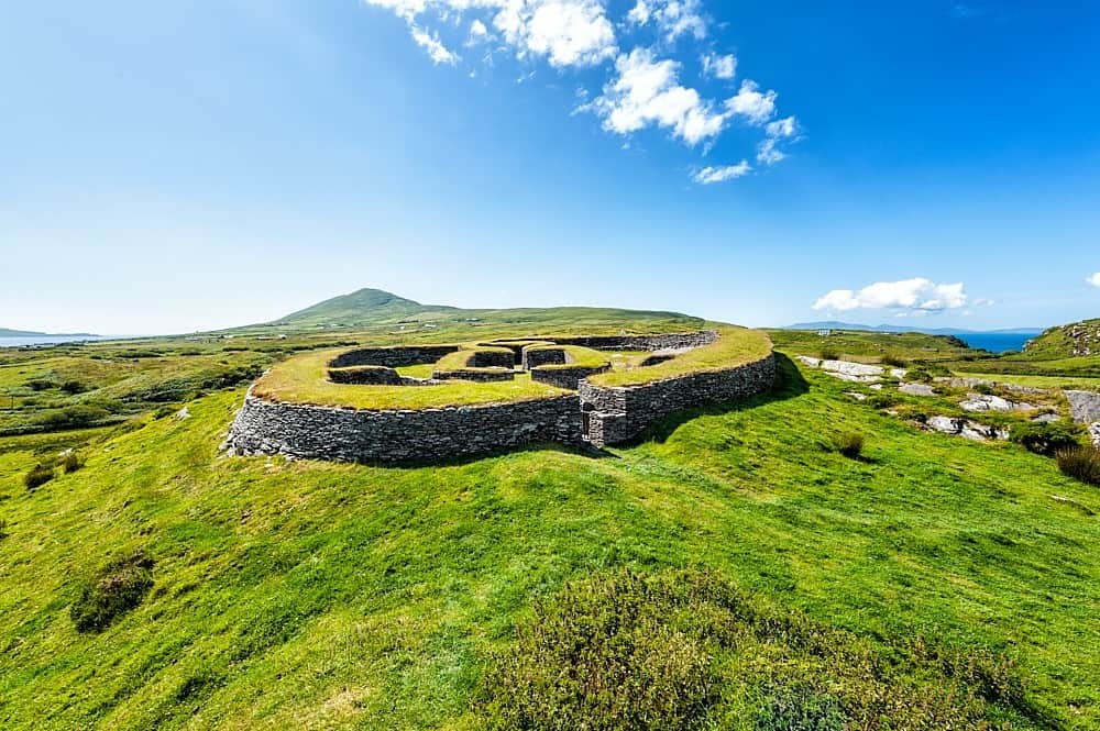 Enclosure in KilbrackanEnclosure · 1021 yd
 Enclosure in BellegroveEnclosure · 1646 yd
 OutlinedCastle, unclassified · 1.1 mi
 Dangan's WoodWood · 1.9 mi
 Green's WoodForest · 2.1 mi
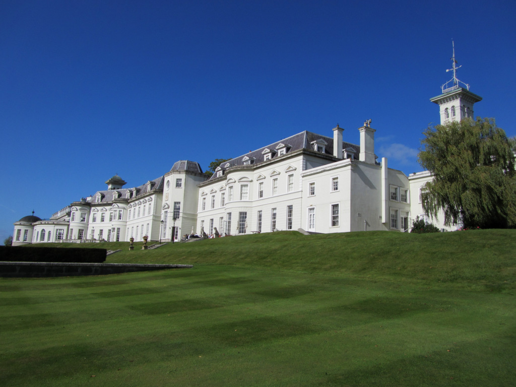 Cloney CastleCastle, unclassified · 3.5 mi
 Emo CourtHeritage attraction · 3.8 mi
 Church (in Ruins), GraveyardChurch · 3.9 mi
 Bog Lake WalkWalking route · 6.3 mi
 Bog Oak WalkWalking route · 6.6 mi