What is recorded here
On roadside 70m ENE of a similar monument (GA017-144----). Marked on OS 6-inch maps as a circular enclosure (D c. 20m). What is visible is a circular platform (D c. 11.6m), in fair condition, defined by a scarp (H 2m max. at NE). This is supplemented from S to W by traces of an external fosse and outer bank. The surface of the platform is uneven. Possibly a house, a landscape feature, or even a windmill mound. (Neary 1914, 116, no. 156)
The above description is derived from the published 'Archaeological Inventory of County Galway Vol. II - North Galway'. Compiled by Olive Alcock, Kathy de hÓra and Paul Gosling (Dublin: Stationery Office, 1999).
Date of upload: 05 August 2010
The monument record does not grant public access. Check the route and ask the landowner before entering private land.
- What survives
- Recorded monument
Places near here
 RathcollArchaeological place · 213 yd
 Dunmore CastleCastle · 376 yd
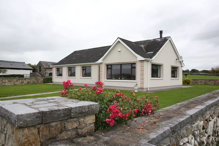 Enclosure in CastlefarmEnclosure · 397 yd
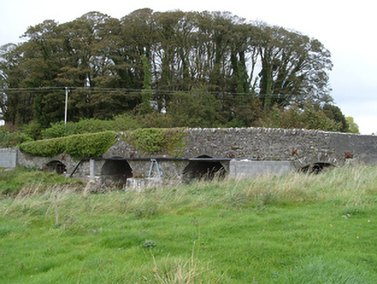 bridgebridge · 433 yd
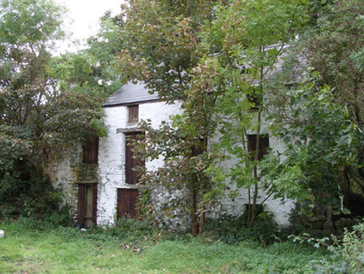 mill (water)mill (water) · 534 yd
 Site of Doonbally CastleCastle, unclassified · 3.7 mi
 Slieve DartMountain / peak · 3.7 mi
 European ashEuropean ash · 8.0 mi
 Mass RockNamed rock · 9.8 mi
 KnockmaaWood · 13 mi
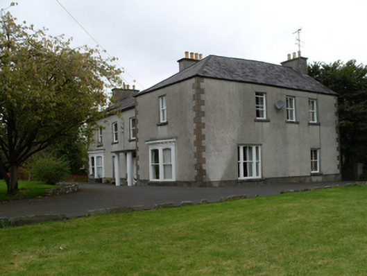 Saint Mary'shouse · 1296 yd
 Cross in DunmoreCross · 1421 yd