What is recorded here
On a N-facing slope, in improved pasture, 275m NE of a townland boundary with Ballynamona and 630m NW of the Ballynamona River. Not depicted on OSi historic maps. Monument identified by the Bruff aerial photographic survey in 1986 (Bruff 193: AP 4/3609) as a semicircular-shaped earthwork to the immediate W of a field boundary running N-S. Possible monument is visible as an oval-shaped scrub covered area (27 NW-SE; 22m NE-SW) on OSi orthoimage taken 2005-2012 and on Digital Globe orthoimage taken 2011-2013. This location appears to have been cleared of scrub as seen on Google Earth orthoimage taken 04/04/13 and is thereafter visible as a damp area, a wet patch and as an eroded area of ground as seen on Google Earth orthoimages 25/05/2017, 20/03/2018 and 28/06/2018, respectively, suggesting that this is more likely to be a natural feature.
See attached Google Earth orthoimage 28/06/2018 and Bruff aerial survey image labelled 193
Compiled by: Alison McQueen and Vera Rahilly
Date of upload: 21 November 2020
The monument record does not grant public access. Check the route and ask the landowner before entering private land.
- What survives
- Recorded monument
Places near here
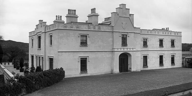 BarrowBarrow, unclassified · 773 yd
 RoadRoad, road/trackway · 775 yd
 Enclosure in Ballinscoola (smallcounty By., Cahercorney Ed)Enclosure · 805 yd
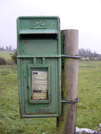 post boxpost box · 1056 yd
 Ballynamona Castle (Site of)Castle, unclassified · 1445 yd
 Castle (in ruins)Castle, unclassified · 1.5 mi
 Kilteely HillMountain / peak · 2.0 mi
 St. Patrick's WellSpring · 2.4 mi
 Flat cemetery in Knockainy WestFlat cemetery · 2.5 mi
 KnockseefinMountain / peak · 5.1 mi
 St Patrick's WellSpring · 5.7 mi
 Ballinvreena LoopVisitor information · 8.2 mi