What is recorded here
Oolahills East holds a rectangular earthen platform beside Oola Castle, shaping a small defensive bawn around the castle base. The earthwork still stands in pasture near the Ballybeg boundary, preserving the footprint of a medieval settlement that has since disappeared.
In pasture, 95m W of townland boundary with Ballybeg. Oola Castle (LI033A008002-) centrally located within the interior and deserted medieval settlement (LI033A007----) to the NW. Depicted on the 1897 ed. OSi 25-inch map as a rectangular shaped platform (dims. c. 19m NE-SW; 36m NW-SE) defined by a scarp, with causeway entrance at SE. the hachures on this map refer to the natural rock outcrop platform on top of which Oola Castle stands. The scarping of the rock outcrop is clearly visible on oblique aerial photographs taken in 1968 and 1969 (CUCAP AVT043; AYO037). The platform is also visible on aerial photographs taken 10/05/2003 and 13/04/2002 (ASIAP (369) 33, 36; (373) 36 (310) 21). This earthwork may have defined a small bawn area immediately around the base of Oola Castle.
See attached CUCAP aerial photographs, ASI aerial photographs and Google Earth orthoimages.
Compiled by: Fiona Rooney
Date of upload: 22 April 2021
The monument record does not grant public access. Check the route and ask the landowner before entering private land.
- What survives
- Recorded monument
Places near here
 Oola Castle (in ruins)Castle, tower house · 13 yd
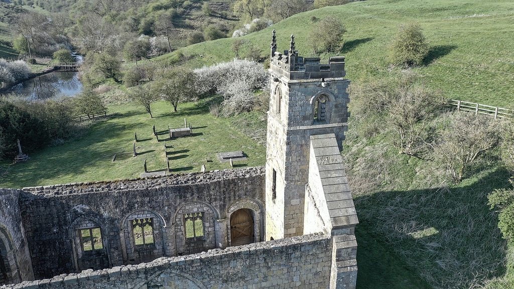 Settlement desertedSettlement deserted, medieval · 212 yd
 Shanaclough Househouse · 364 yd
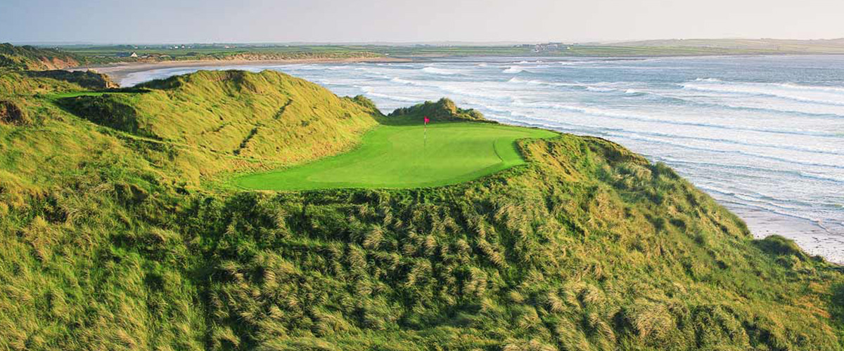 BarrowBarrow, ditch barrow · 464 yd
 Oola HillMountain / peak · 679 yd
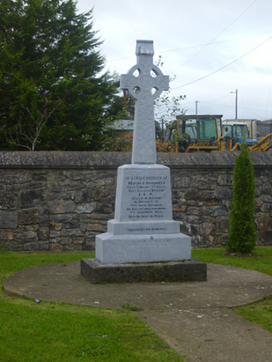 O'Donnell Monumentmonument · 1294 yd
 CastleCastle, ringwork · 1585 yd
 ToberagaddySpring · 4.4 mi
 St. Patrick's WellSpring · 6.6 mi
 Kilteely HillMountain / peak · 6.8 mi
 Flat cemetery in Knockainy WestFlat cemetery · 9.8 mi
 Field system in Shanaclogh EastField system · 557 yd