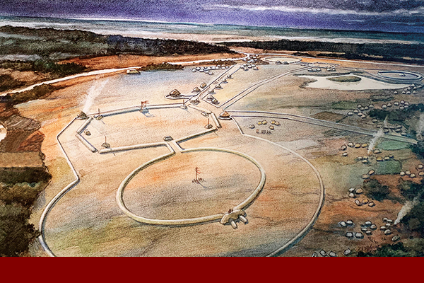
What is recorded here
In grassland on the brow of a low hillock. Rectilinear cropmarks of a possible field system or enclosure attached to the NW side of a possible circular-shaped area visible on aerial images submitted to the NMS by Ian Lennon. No surface remains visible on the 2013-18 MapGenie aerial image. Cropmarks partially visible on the 2011-13 MapGenie Digital Globe aerial imagery. Cropmark site (DU004-061----) in the same field 170m to the WSW and ring-ditch cropmark (DU004-098----) in same field 290m to the SSE.
Compiled by: Caimin O'Brien based on details provided by Ian Lennon.
The monument record does not grant public access. Check the route and ask the landowner before entering private land.
- What survives
- Recorded monument
Places near here
 Enclosure in NaulEnclosure · 232 yd
 Ring-ditch in NaulRing-ditch · 341 yd
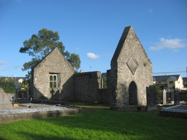 OutlinedChapel · 742 yd
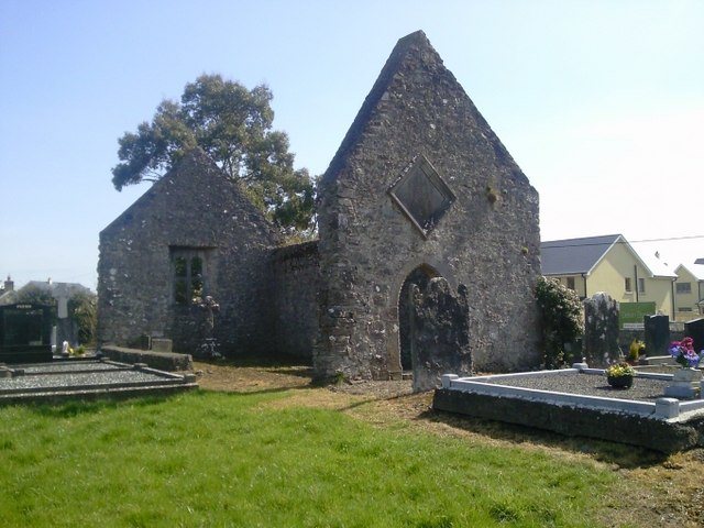 church/chapelchurch/chapel · 749 yd
 Bawn in NaulBawn · 780 yd
 Seamus Ennis Cultural CentreMemorial · 840 yd
 Bun-na-CnoicMemorial · 980 yd
 Naul Park HouseCastle, unclassified · 1100 yd
 Naul HillMountain / peak · 1.0 mi
 Tullog WoodForest · 1.4 mi
 KnockbrackMountain / peak · 1.4 mi
 St Kenny's WellSpring · 2.3 mi
Other information
Photo: Credit not shown in the picture search · Rights wording not checked; contact us if this picture should be removed