What is recorded here
In flat pasture immediately N of the Royal Canal, in a field known locally as Springfield. Earthwork (WM019-089002-) 160m to NE. Irregular-shaped earthwork visible on LiDAR image. Faint traces of cropmark of possible circular-shaped earthwork visible on Digital Globe orthoimage taken between 2011-13. Slight undulations in field visible in area where cropmark is visible on Digital Globe orthoimage.
See attached LiDAR image courtesy of Justin Moffatt
Compiled by: Caimin O’Brien based on details provided by Justin Moffatt
Date of upload: 25 March 2023
The monument record does not grant public access. Check the route and ask the landowner before entering private land.
- What survives
- Recorded monument
Places near here
 aqueduct, mill raceaqueduct, mill race · 180 yd
 bridgebridge · 225 yd
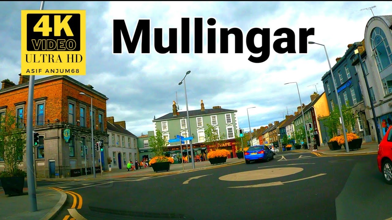 Town defences in MullingarTown defences · 350 yd
 Augustinian Monks Memorial StatueMemorial · 408 yd
 Site of CastleCastle, unclassified · 450 yd
 Priests WellHoly well · 510 yd
 Mullingar Cathedral MuseumMuseum · 687 yd
 The Chimera GalleryGallery · 716 yd
 Petits Castle Mote & Mill (Site of)Castle, unclassified · 746 yd
 Famine MemorialMemorial · 752 yd
 Saint Brigid's WellSpring · 1.5 mi
 Lady's IslandWood · 2.6 mi