What is recorded here
Situated atop low N-S ridge in undulating countryside. No surface remains visible. Not depicted on 1st. ed. OS 6-inch map. Non-antiquity.
Compiled by: Jean Farrelly and Caimin O'Brien
Date of upload/revision: 22 September 2008
The monument record does not grant public access. Check the route and ask the landowner before entering private land.
- What survives
- Recorded monument
Places near here
 Castle (in Ruins)Bawn · 930 yd
 Enclosure in RaheltyEnclosure · 1.1 mi
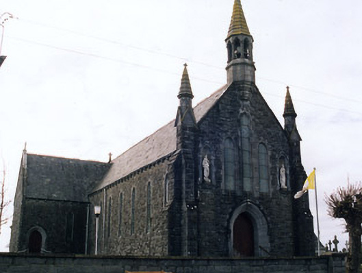 Saint Mary's Catholic Churchchurch/chapel · 1.2 mi
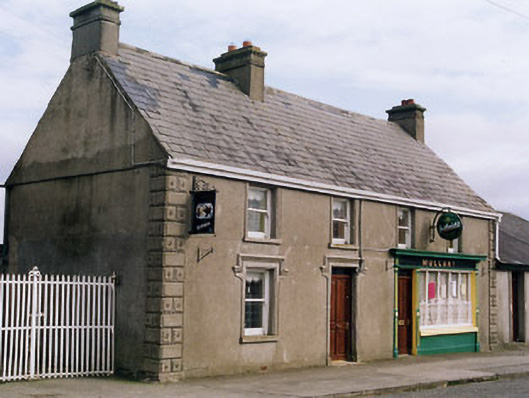 Mullanyhouse · 1.2 mi
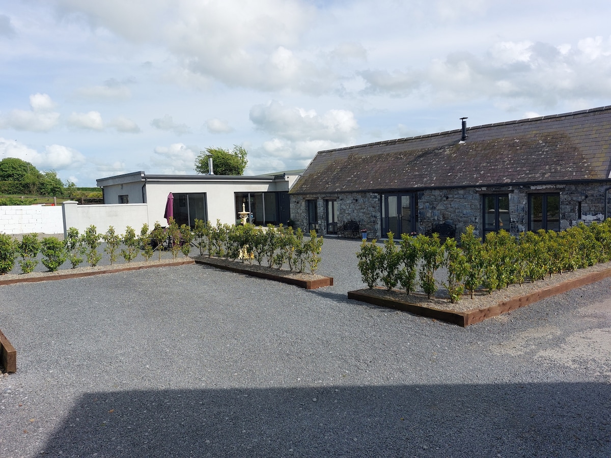 Enclosure in Athnid BegEnclosure · 1.3 mi
 Rahelty CastleCastle · 1.4 mi
 St. Mary's Famine and War MuseumMuseum · 4.0 mi
 Famine & War MuseumMuseum · 4.1 mi
 European ashEuropean ash · 4.5 mi
 WoodlandWood · 4.6 mi
 Horse and JockeyVisitor information · 7.5 mi
 Gobban Saer's GraveArchaeological place · 8.4 mi