What is recorded here
In tillage field with cropmark of ring-ditch (DU017-110----) 120m to WSW. Cropmark of circular-shaped area (diam. c. 30m) defined by the cropmark of a ditch visible on Google Earth orthoimage taken 24/06/2018.
See attached Google Earth orthoimage taken 24/06/2018
Compiled by: Caimin O'Brien based on details provided by Jean-Charles Caillère
Date of upload: 29 May 2023
The monument record does not grant public access. Check the route and ask the landowner before entering private land.
- What survives
- Recorded monument
Places near here
 Ring-ditch in Milltown (newcastle By.)Ring-ditch · 151 yd
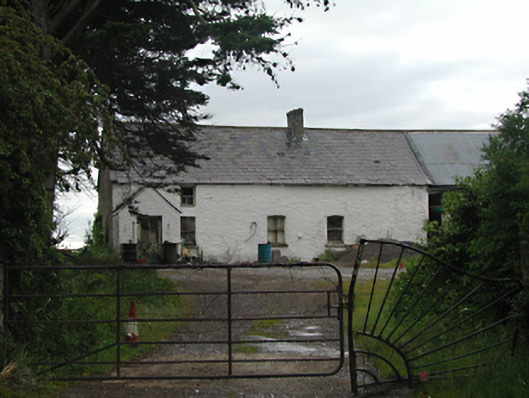 farm housefarm house · 369 yd
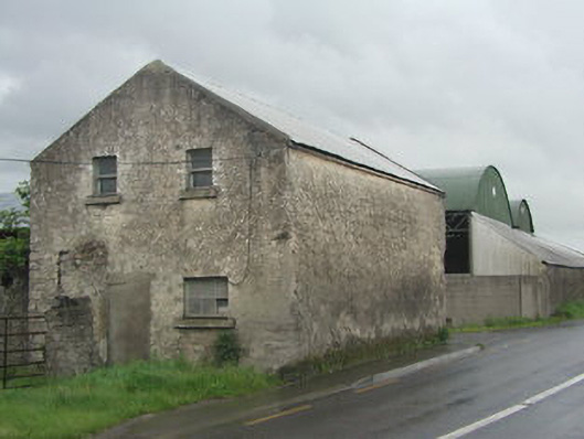 outbuildingoutbuilding · 434 yd
 Earthwork in GollierstownEarthwork · 708 yd
 Kilbride Castle (site of)Castle, unclassified · 1.2 mi
 Castle (site of)Castle, unclassified · 1.4 mi
 Grand Canal WayWalking route · 1.4 mi
 Griffeen Valley WalkWalking route · 1.9 mi
 Early Stadium DesignHeritage attraction · 1.9 mi
 Fairy WoodWood · 2.1 mi
 European YewEuropean Yew · 2.2 mi
 Saint Finian's WellSpring · 2.6 mi