What is recorded here
On low-lying poorly drained land. No surface remains visible of any archaeological monument in the field marked on the OS 6-inch map. An earthwork is shown at this location on William Larkin's 1808 map of Co. Westmeath (SMR File).
Compiled by: Caimin O’Brien
Date of upload: 30 July 2013
The monument record does not grant public access. Check the route and ask the landowner before entering private land.
- What survives
- Recorded monument
Places near here
 Site of CastleCastle, unclassified · 284 yd
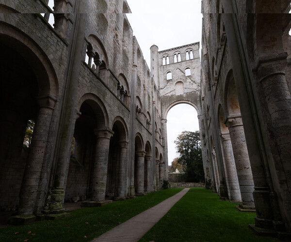 Abbey RuinsChurch · 1184 yd
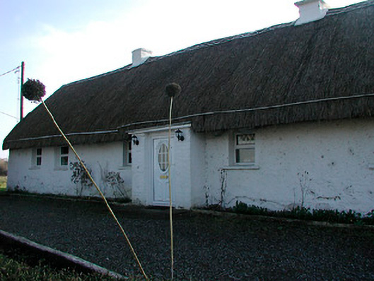 farm housefarm house · 1201 yd
 St. Bridgets WellHoly well · 1232 yd
 Moat of PassCastle, motte · 1279 yd
 Fairy fort / ringfort in Pass OF KilbrideFairy fort / ringfort · 1.3 mi
 Derrygreenagh HillMountain / peak · 3.7 mi
 Knockdrin HillMountain / peak · 3.9 mi
 Roundhill WoodForest · 8.0 mi
 Rahin WoodsForest · 8.4 mi
 Croppies' GraveMemorial · 10.0 mi
 Allen family memorial headstoneMemorial · 13 mi