What is recorded here
In reclaimed pasture 130m SW of the River Loobagh that marks the townland boundary with Mountcoote, on the demesne lands of Riversfield House, located 370m to E. Not depicted on OSi historic 6-inch maps. Identified as a possible earthwork on oblique aerial photograph (ASIAP) taken 05/01/2003. Natural water-filled hollow or pond visible in area marked on aerial images with linear earthworks radiating outwards from this pond like feature. Doubtful antiquity, linear earthworks may be a mixture of paleochannels and drainage channels associated with landscaping of the demesne lands of Riversfield House.
See attached Google Earth orthoimages.
Compiled by: Martin Fitzpatrick
Date of upload: 4 September 2021
The monument record does not grant public access. Check the route and ask the landowner before entering private land.
- What survives
- Recorded monument
Places near here
 Riversfield Bridgebridge · 303 yd
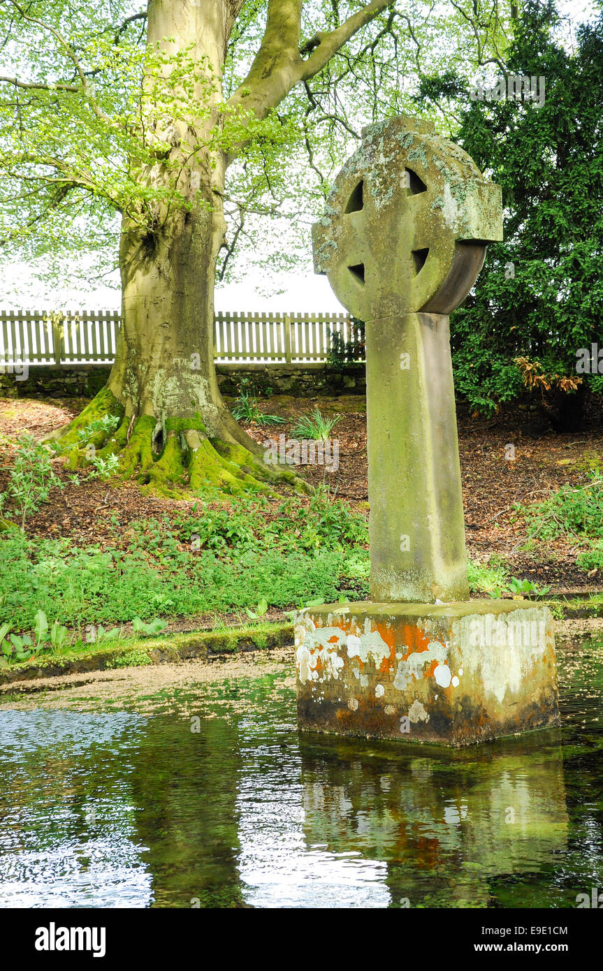 Ladys WellHoly well · 399 yd
 Saint Mary's Catholic Churchchurch/chapel · 764 yd
 Grave YardGraveyard · 863 yd
 Site of Millmount Castle, Castle FieldCastle, unclassified · 1378 yd
 St Bridget's WellSpring · 1.3 mi
 Site of Castle CooteBawn · 1.5 mi
 Kilmallock AbbeyHeritage attraction · 1.5 mi
 King John's CastleCastle · 1.6 mi
 Lady's WellSpring · 3.6 mi
 Ballyhoura tourist informationVisitor information · 3.8 mi
 Caher HillMountain / peak · 4.5 mi