What is recorded here
Marked only on the 1914 ed. of the OS 6-inch map as a D-shaped area (dims c. 30m E-W; c. 20m N-S) truncated by an E-W field wall at S, and situated on a gentle N-facing slope. A bank was noted at N (Gannon 1972), but it is now removed by quarrying. Cashel (RO009-004----) is c. 20m to the ESE.
Compiled by: Michael Moore
Date of upload: 24 August 2010
The monument record does not grant public access. Check the route and ask the landowner before entering private land.
- What survives
- Recorded monument
Places near here
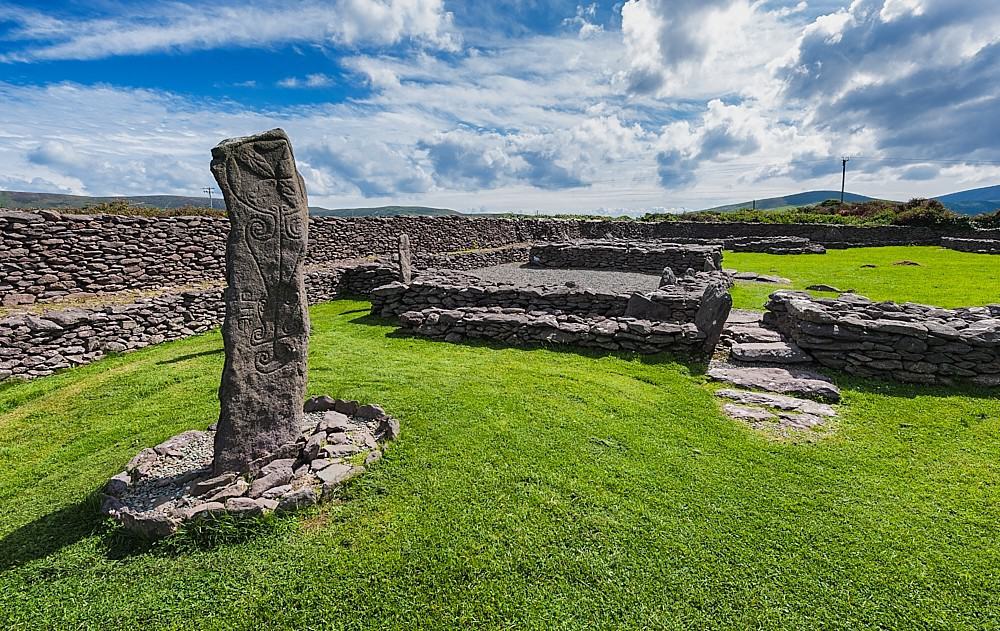 Enclosure in ReaskEnclosure · 1025 yd
 Enclosure in CarrownaunEnclosure · 1292 yd
 Religious houseReligious house, unclassified · 1299 yd
 Boyle NunneryChurch · 1.9 mi
 King William MemorialMonument · 2.7 mi
 Boyle AbbeyHeritage attraction · 2.9 mi
 Inch IslandIslet · 3.8 mi
 Castle (in Ruins)Castle, unclassified · 3.8 mi
 Rose PointHeadland · 3.8 mi
 Curlew MountainsMountain / peak · 3.8 mi
 Castle PointHeadland · 3.9 mi
 Battle of Curlew PassMajor battlefield · 4.0 mi