What is recorded here
In reclaimed pasture, an earthwork (LI040-084----) lies 75m to the SW. Not marked on OSi historic maps. Identified as a possible enclosure by the Bruff aerial photographic survey in 1986 (Bruff 118; AP 5/2124). Monument visible as a raised D-shaped platform defined by a scrap with fosse from NE-E-S-W-NW, intersected at N by a post-1700 field boundary running E-W on Digital Globe orthoimage taken between 2011-13 and on Google Earth orthoimage dated 14/09/2019. Relic field boundary running N-S depicted on the 1840 ed. OSi 6-inch map clearly visible on Digital Globe and Google Earth orthoimages.
See attached Bruff survey image showing cropmark labelled Bruff 118 and Google Earth orthoimages.
Compiled by: Fiona Rooney
Date of upload: 3 July 2021
The monument record does not grant public access. Check the route and ask the landowner before entering private land.
- What survives
- Recorded monument
Places near here
 Ballinacaroona Bridgebridge · 683 yd
 Bridge Housefarm house · 715 yd
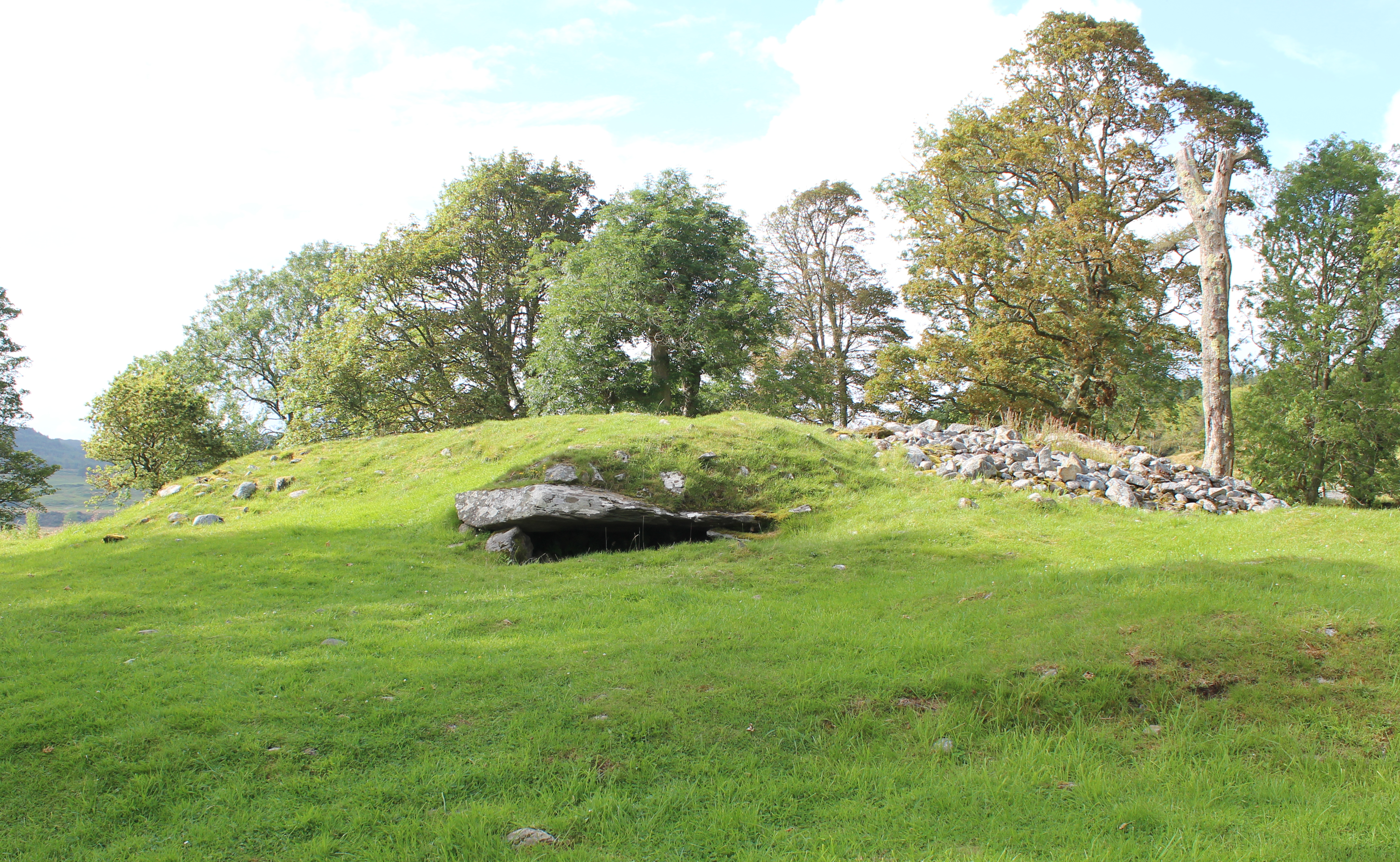 Burial mound in Knocklong WestBurial mound · 984 yd
 BarrowBarrow, ditch barrow · 1072 yd
 Mote - HachuredCastle, motte · 1405 yd
 Castle (in ruins)Castle, tower house · 1567 yd
 St Patrick's WellSpring · 1625 yd
 Edmund's WellSpring · 2.1 mi
 Flat cemetery in Knockainy WestFlat cemetery · 2.8 mi
 Ballinvreena LoopVisitor information · 3.3 mi
 SlievereaghMountain / peak · 4.2 mi
 Darby's Bed Walk LoopWalking route · 4.7 mi