
What is recorded here
In reclaimed pasture, 155m W of a watercourse that marks the townland boundary with Knocklong. Possible barrow identified during examination of Google Earth orthoimage dated 05/04/2006 where visible as a circular-shaped area (diam. c. 6m) defined by a ditch. Faint trace of circular cropmark visible on Google Earth orthoimage dated 14/09/2019.
See attached Google Earth orthoimages.
Compiled by: Martin Fitzpatrick
Date of upload: 8 July 2021
Ditch barrow, likely dating to the Early Bronze Age. Its earthwork features suggest a funerary or ceremonial function, typical of burial monuments in this period.
The monument record does not grant public access. Check the route and ask the landowner before entering private land.
- What survives
- Recorded monument
Places near here
 Mote - HachuredCastle, motte · 725 yd
 Bridge Housefarm house · 1175 yd
 Ballinacaroona Bridgebridge · 1276 yd
 Field system in Ballincarroona (smallcounty By.)Field system · 1455 yd
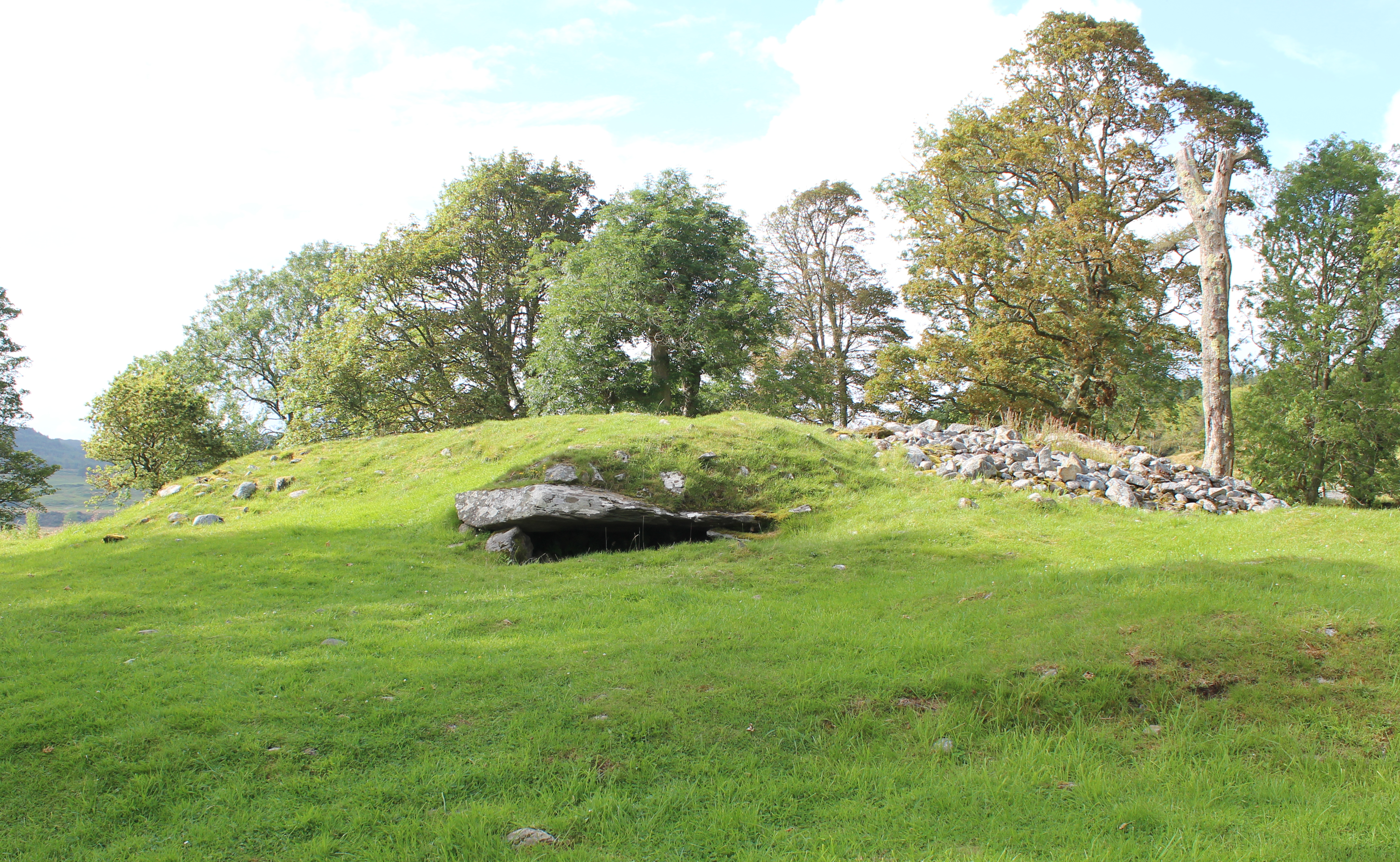 Burial mound in Knocklong WestBurial mound · 1.0 mi
 Castle (in ruins)Castle, tower house · 1.5 mi
 St Patrick's WellSpring · 1.5 mi
 Flat cemetery in Knockainy WestFlat cemetery · 2.2 mi
 Edmund's WellSpring · 2.5 mi
 Ballinvreena LoopVisitor information · 3.6 mi
 SlievereaghMountain / peak · 4.6 mi
 Darby's Bed Walk LoopWalking route · 5.3 mi
Other information
Photo: Credit not shown in the picture search · Rights wording not checked; contact us if this picture should be removed