What is recorded here
Knocklong West holds a forgotten circular platform, measuring seventeen by fifteen metres, tucked between a watercourse and a railway track. It resisted mapping in 1837 but emerged on later charts as a raised earthwork, suggesting human hands shaped the land before records caught up. The site still whispers through faint cropmarks and shadowed scars in the pasture, inviting imagination about who built it and why they chose that hidden spot.
In reclaimed pasture immediately N of a watercourse and 350m S of a railway track. Knocklong fort (LI040-087----) lies 120m to SE. No indicated in 1837 ed. OSi 6-inch map. Depicted as a raised roughly circular-shaped platform (dims. c. 17m N-S x 15m E-W) defined by a scarp on OSi 25-inch map. Outline of earthwork visible on OSi orthoimage taken 2005-12. Faint trace of a roughly circular-shaped cropmark visible on Google Earth orthoimage dated 19/09/2019.
See attached Google Earth orthoimages.
Compiled by: Martin Fitzpatrick
Date of upload: 14 June 2021
The monument record does not grant public access. Check the route and ask the landowner before entering private land.
- What survives
- Recorded monument
Places near here
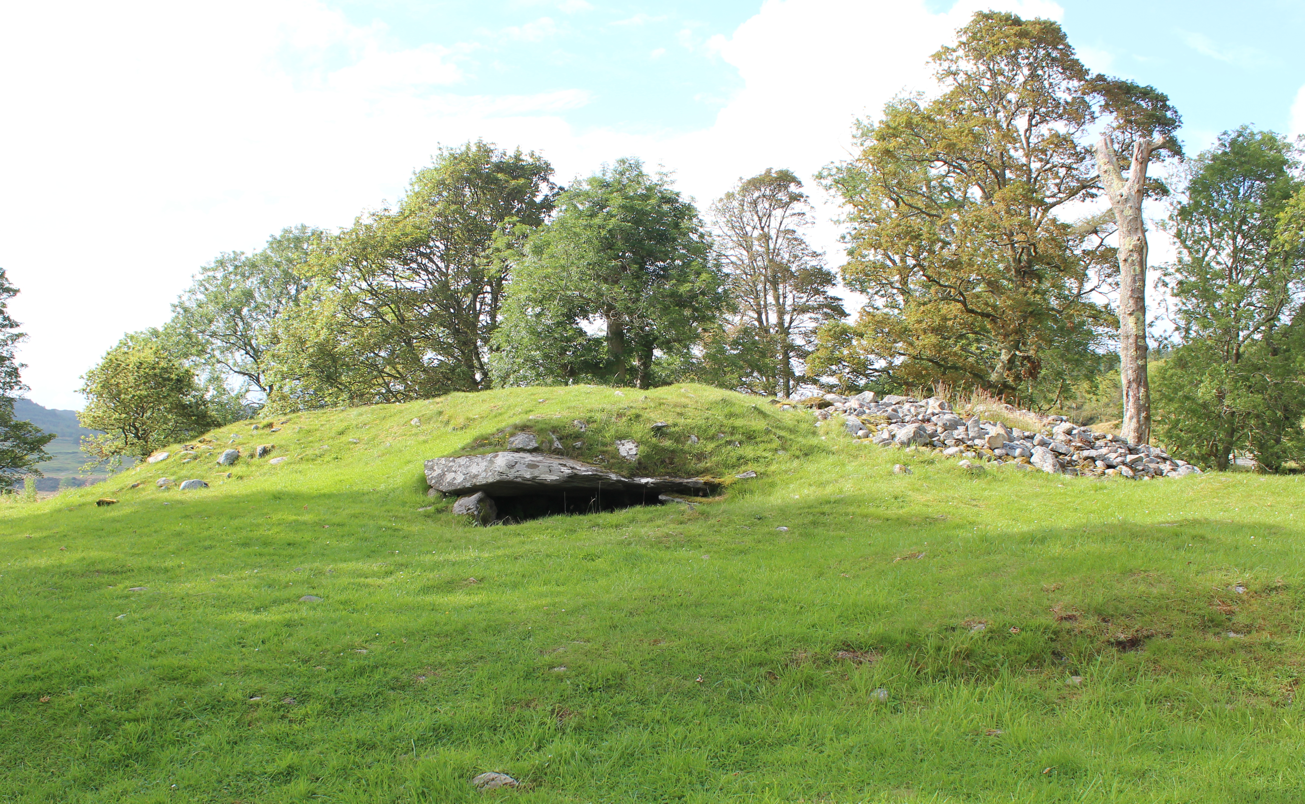 Burial mound in Knocklong WestBurial mound · 122 yd
 Knocklong Fort, HachuredMound · 170 yd
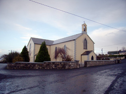 Saint Joseph's Catholic Churchchurch/chapel · 863 yd
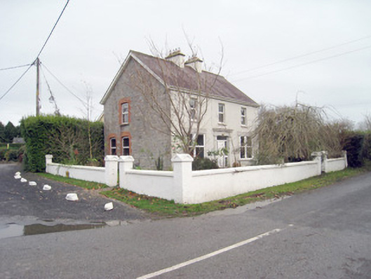 Belvedere Househouse · 1143 yd
 Castle (in ruins)Castle, tower house · 1207 yd
 St Patrick's WellSpring · 1306 yd
 Mote - HachuredCastle, motte · 1.4 mi
 Edmund's WellSpring · 1.4 mi
 Ballinvreena LoopVisitor information · 2.7 mi
 Flat cemetery in Knockainy WestFlat cemetery · 3.3 mi
 Carn (site of)Cairn, burial cairn · 3.4 mi
 SlievereaghMountain / peak · 3.5 mi