
What is recorded here
In reclaimed pasture 120m N of a local road. Annotated ‘Knocklong fort’ on OSi 25-inch map where it is depicted as a raised circular-shaped area (diam. c. 20m) defined by a scarp with fosse delimited by a field boundary. Westropp (1917-19, 175) described the monument as follows; ‘The most southern, and finest, mote, near the road from Knocklong ridge to Aghadoon, is on the summit of the plateau; it has a beautiful outlook to the Galtees and Slievereagh. It is a very perfect mote, 13 feet to 15 feet (3.9m–4.6m) high over the fosse, 40 feet to 45 feet (12.1m- 13.7m) across the top and 70 feet (21.3m) at the base with steep sides, and thick hawthorn growing on it to the south-east. The fosse is 16 feet (4.9m) wide in the bottom, and over 6 feet (1.8m), being still wet'. The heavily overgrown monument is visible on Google Earth orthoimage dated 19/09/2019 where it is intersected at E by field boundary running N-S and at S by field boundary running NW-SE.
See attached Google Earth orthoimages.
Compiled by: Martin Fitzpatrick
Date of upload: 14 June 2021
A circular earthwork, possibly a ringfort, dating to the Early Medieval period. Its location suggests it may have been a defensive or domestic site, typical of rural settlements in Ireland during this era.
The monument record does not grant public access. Check the route and ask the landowner before entering private land.
- What survives
- Recorded monument
Places near here
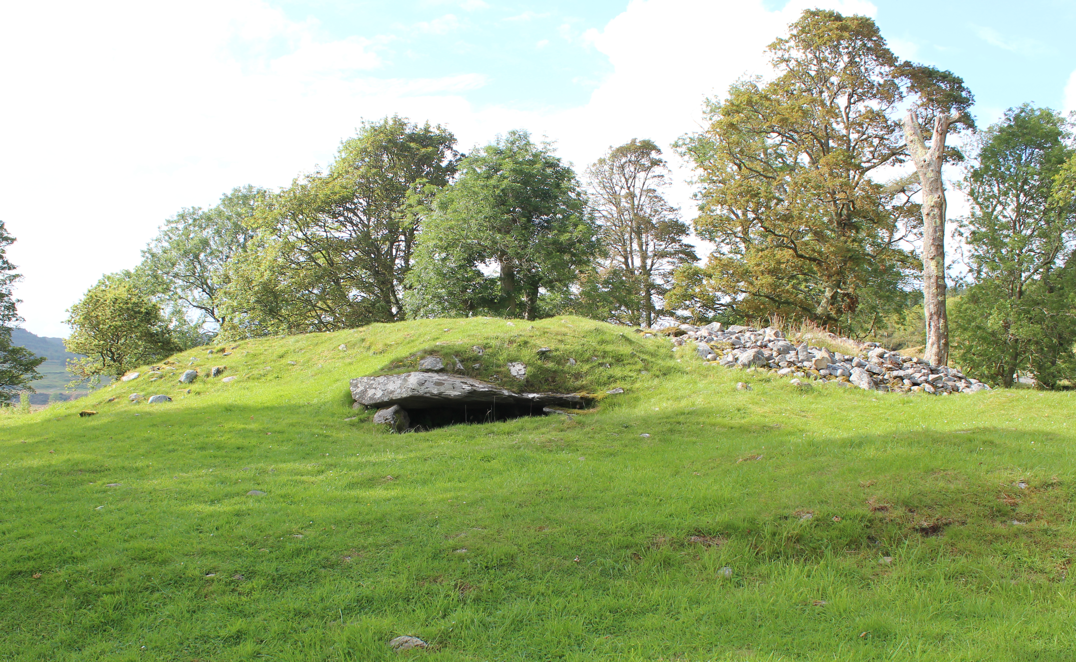 Burial mound in Knocklong WestBurial mound · 259 yd
 Enclosure in Knocklong EastEnclosure · 579 yd
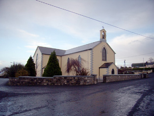 Saint Joseph's Catholic Churchchurch/chapel · 756 yd
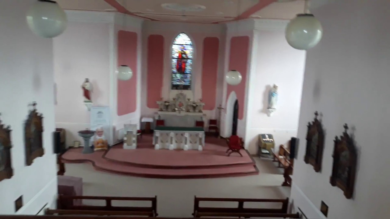 Church (in Ruins)Church · 1061 yd
 Castle (in ruins)Castle, tower house · 1130 yd
 St Patrick's WellSpring · 1230 yd
 Edmund's WellSpring · 1.4 mi
 Mote - HachuredCastle, motte · 1.5 mi
 Ballinvreena LoopVisitor information · 2.6 mi
 Carn (site of)Cairn, burial cairn · 3.3 mi
 Flat cemetery in Knockainy WestFlat cemetery · 3.4 mi
 SlievereaghMountain / peak · 3.5 mi
Other information
Photo: Credit not shown in the picture search · Rights wording not checked; contact us if this picture should be removed