What is recorded here
In pasture 170m SW of ringfort (LI040-081----). Not depicted on historic OSi maps. Potential monument identified as a circular-shaped earthwork on oblique aerial photograph taken 20/07/1968 (CUCAP AVT028). No surface remains visible on OSi orthophoto taken between 2005-12 or on Google Earth orthoimages.
See attached CUCAP aerial image and Google Earth orthoimage.
Compiled by: Martin Fitzpatrick
Date of upload: 10 June 2021
See attached ASI aerial photograph ASIAP – 303/21 on 13/09/2002.
The monument record does not grant public access. Check the route and ask the landowner before entering private land.
- What survives
- Recorded monument
Places near here
 BarrowBarrow, ditch barrow · 864 yd
 Bridge Housefarm house · 885 yd
 Ballinacaroona Bridgebridge · 899 yd
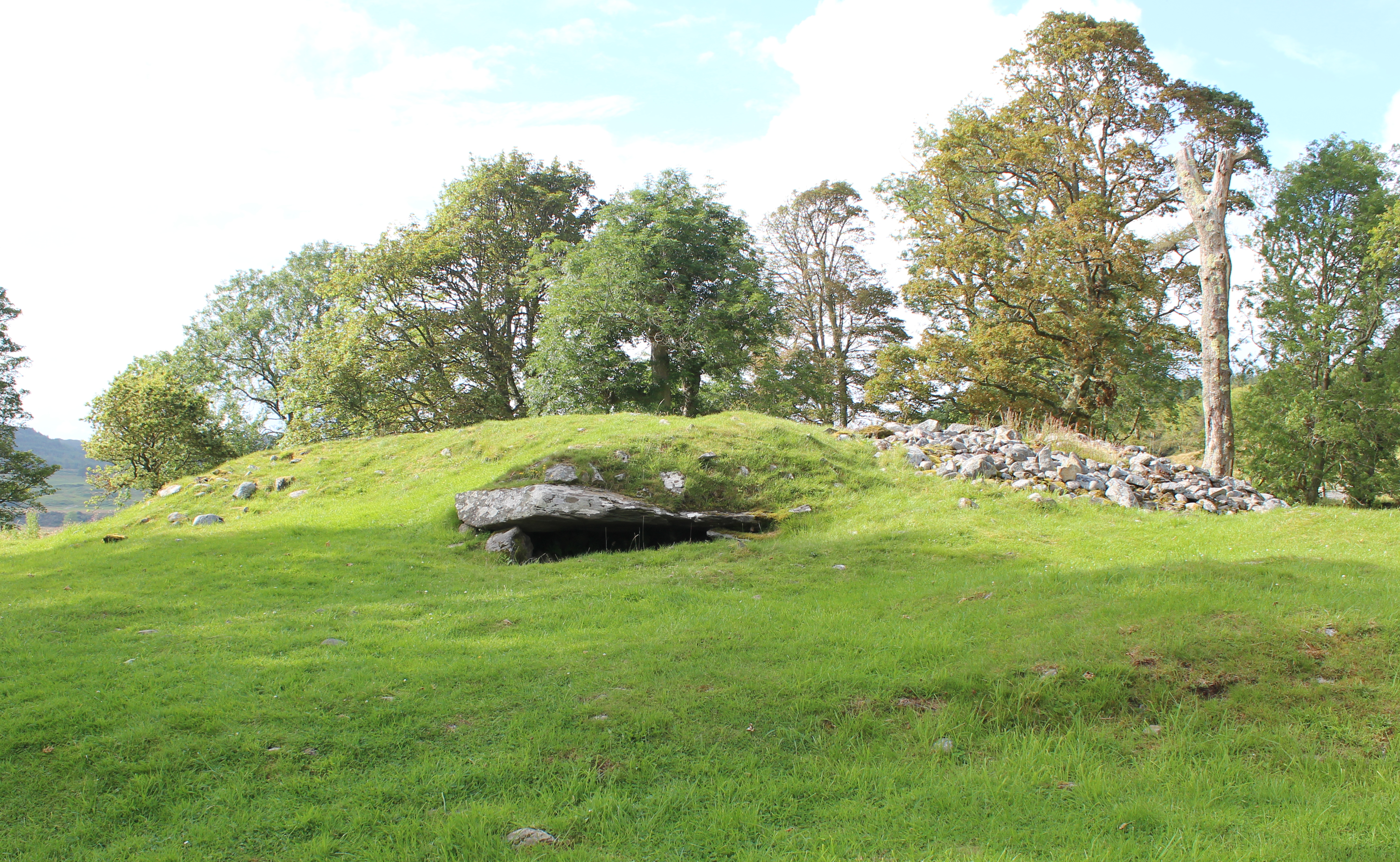 Burial mound in Knocklong WestBurial mound · 1073 yd
 Mote - HachuredCastle, motte · 1279 yd
 Castle (in ruins)Castle, tower house · 1.0 mi
 St Patrick's WellSpring · 1.1 mi
 Edmund's WellSpring · 2.1 mi
 Flat cemetery in Knockainy WestFlat cemetery · 2.7 mi
 Ballinvreena LoopVisitor information · 3.3 mi
 Carn (site of)Cairn, burial cairn · 3.5 mi
 SlievereaghMountain / peak · 4.2 mi