What is recorded here
In rough pasture on the summit of Knocklong, associated with O’Hurley's Castle (LI041-004005-). Knocklong church (LI041-004002-) and graveyard (LI041-004003-) lie 60m to the SW and 3 holy wells (LI041-004006-/008-) lie 70m to the E. Not indicated on the 1840 ed. OSi 6-inch map. Depicted on the 1897 ed. OSi 25-inch map as a partial circular platform defined by a scarp from NW-N-NE which appears to form a platform on the N side of O'Hurley's Castle. A linear earthwork of a possible road (LI041-004001-) runs N-S to immediatel E of platform. Earthork or platform visible on OSi orthophotograph taken between 2005-12 and on Google Earth orthoimage dated 14/09/2019.
See attached oblique aerial photographs (CUCAP AVT029/030) taken 20/07/1968, BGK054 taken 17/07/1971 and Google Earth orthoimages.
Compiled by: Fiona Rooney
Date of upload: 14 July 2021
The monument record does not grant public access. Check the route and ask the landowner before entering private land.
- What survives
- Recorded monument
Places near here
 Castle (in ruins)Castle, tower house · 12 yd
 RoadRoad, road/trackway · 30 yd
 St. Patricks and St Pauls WellsHoly well · 88 yd
 St Patrick's WellSpring · 90 yd
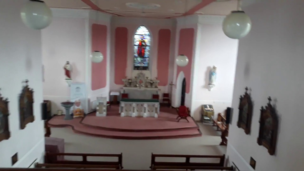 Church (in Ruins)Church · 101 yd
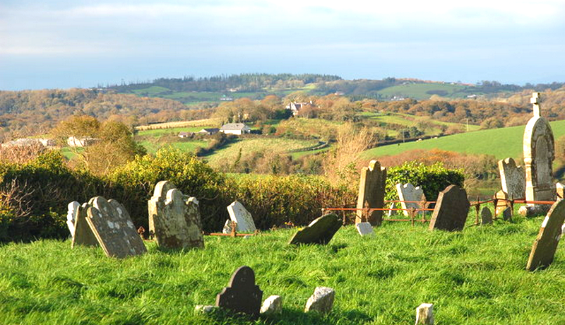 Grave YardGraveyard · 114 yd
 Edmund's WellSpring · 1.5 mi
 Ryves CastleCastle, unclassified · 1.6 mi
 Ballinvreena LoopVisitor information · 3.0 mi
 SlievereaghMountain / peak · 3.5 mi
 Flat cemetery in Knockainy WestFlat cemetery · 3.6 mi
 Palatine's RockNamed rock · 5.2 mi