What is recorded here
No surface remains visible of hollow depression which is depicted on the revised 1874 ed. OS 6-inch map. On the 1910 ed. OS 25-inch map the feature is clearly shown as a small sunken area or hollow (dims. c. 10m NW-SE; c. 8m NE-SW) possibly the result of shallow quarrying. According to landowner, this was a low mound which was levelled out a number of years ago.
Compiled by: Caimin O'Brien based on information provided by Alison McQueen
Date of upload: 07 November 2019
The monument record does not grant public access. Check the route and ask the landowner before entering private land.
- What survives
- Recorded monument
Places near here
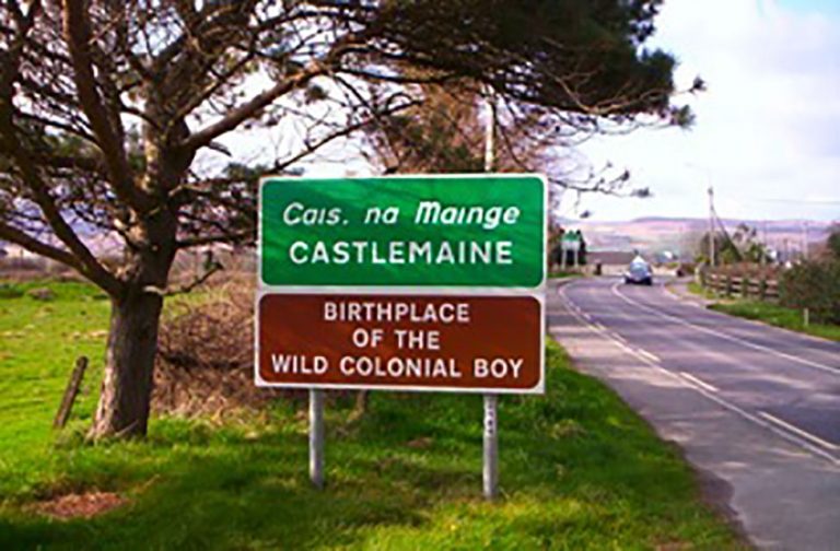 OutlinedFairy fort / earthen ringfort · 484 yd
 CastleCastle, ringwork · 615 yd
 Dún na SíMuseum · 1339 yd
 Dún na Sí Heritage CentreMuseum · 1341 yd
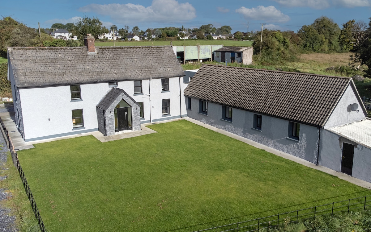 Bawn in DuneganBawn · 1530 yd
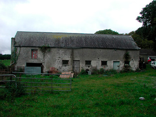 Ballynagarby Housedairy, outbuilding · 1533 yd
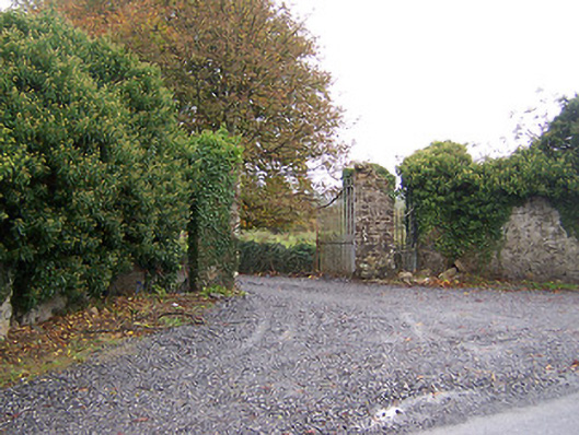 Shurock Housedemesne walls/gates/railings · 1752 yd
 Charles BianconiMemorial · 1.5 mi
 Moate HillMountain / peak · 1.7 mi
 Roughan HillMountain / peak · 4.9 mi