What is recorded here
Cropmark of circular-shaped area (diam. c. 23m) enclosed by low bank and wide outer fosse transected at S by field boundary running E-W visible on Digital Globe imagery taken 2011-13. Outline of earthwork visible on Google Earth orthoimage taken 08/03/2010.
See attached Google Earth orthoimage taken 08/03/2010
Compiled by: Caimin O'Brien based on details provided by Seán Murray
Date of upload: 22 April 2021
The monument record does not grant public access. Check the route and ask the landowner before entering private land.
- What survives
- Recorded monument
Places near here
 Enclosure in KnockbaunEnclosure · 195 yd
 Enclosure in AghadreenEnclosure · 1.3 mi
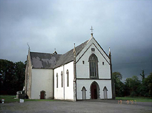 Saint Laserian's Catholic Churchchurch/chapel · 1.6 mi
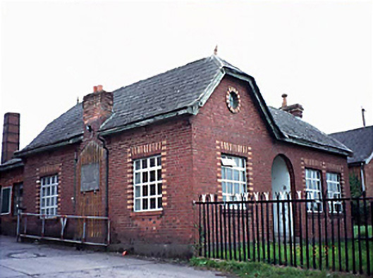 Fleming's Fireclaysworker's house · 2.2 mi
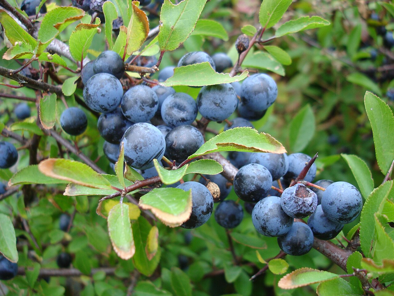 BlackthornBlackthorn · 3.3 mi
 Timahoe AbbeyCastle, tower house · 3.5 mi
 Timahoe Church and Round TowerVisitor information · 3.5 mi
 Moat Castle in ruinsCastle, unclassified · 3.7 mi
 AskuarWood · 3.9 mi
 Heywood GardensHeritage attraction · 4.6 mi
 1798 MonumentMemorial · 5.2 mi
 Rock of CashelMountain / peak · 6.0 mi